


Tamsin Slatter
-
Posts
1,910 -
Joined
-
Last visited


-

U Value Calculator
Tamsin Slatter replied to Shortnort's question in Wishlist - Feature and Content Requests
You can find out more here: https://university.vectorworks.net/mod/scorm/player.php?a=349¤torg=articulate_rise&scoid=698 -
U Value Calculator
Tamsin Slatter replied to Shortnort's question in Wishlist - Feature and Content Requests
Energos is built into Vectorworks Architect. -
I suggest that you contact tech support and send them your example file.
- 1 reply
-
- 1
-

-
Custom Fence Style wrong appearance in Top/Plan View
Tamsin Slatter replied to Curtis M's topic in Site Design
Could it be that you have left a particular parameter to be “By Instance” instead of By Style? -
Trees changing location when referenced to a file
Tamsin Slatter replied to SthavyaK's topic in Site Design
Are both of your files georeferenced with the same coordinates on the internal origin? And is your User Origin in the same location relative to the internal origin in both files? -
Test Proximity and Text to 3D Loci
Tamsin Slatter reviewed SBarrettWalker's file in Marionette - Networks
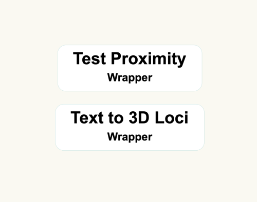 This is a fantastic resource - a simple way to create 3D survey data where only 2D and text has been provided. Just remember to set the Vectorworks file units to the desired units for the resulting 3D data before running the wrappers. Thank you @SBarrettWalker
 -
You’re welcome. Here’s my recommended workflow: 1. Create model from original source data. This is the EXISTING model. 2. Apply Site Modifiers and Grades to change the site how you want it. 3. Add Hardscapes and Landscape Areas. Use Draped mode on the Hardscapes and the Landscape Areas will just automatically fit the model. Good luck!
-
My guess is that you need to select your landscape area, and complete the Site Model field on the Object Info palette, to tell it which layer contains the site model you want the area to work with.
-
Oh good! I just tested and all well at my end. I was going to suggest contacting tech support but it sounds like you're good.
-
Managing layer/class visibilities in viewports
Tamsin Slatter replied to ratherfishing's topic in General Discussion
It sounds like you are looking for a Viewport Style. After setting up your viewport as you want it, on the Object Info palette, click the Style pop-up menu and choose to save the style. Then you can drop it onto any viewport. And keep it in your library ready to use in any file. And use Saved Views to set up the desired visibilities for the design phase. -
I think the profile shape needs to be on the right of the locus. Otherwise, it is trying to sweep the locus around the polyline.
-
Switch to Data Tags. You can then include any data you like and have control over the layout.
-
Creating a viewport from design layers
Tamsin Slatter replied to Monique Freese's topic in Architecture
I like this method too - because you can see the other things on your sheet as you create the crop. -
Try the Site Modifier in Pathway mode. Here you can create any shape you like, with curves. The pathway has a longitudinal profile that can be modified to set precise elevations, You can also create as many transverse profiles as you like. The pathway starts out with a fixed width, but you can reshape as required, Once you’ve created your path modifier, add the hardscape and tell it to drape. Hope that helps.
-
a hardscape that mimics the existing site model surface
Tamsin Slatter replied to zhoukaiyi's topic in Site Design
No need to use Send to Surface. Just change the Site Modifer to Draped and it will fit the surface of the model.