
.png.682a1dde7889dd17fdb4e18ba0421cf6.png)


StefanoT
-
Posts
114 -
Joined
-
Last visited
3 Followers


Recent Profile Visitors
8,281 profile views


-
WGS / GIS coordinates function for tags, worksheets, etc.
StefanoT replied to StefanoT's question in Wishlist - Feature and Content Requests
Insertion point would be for me more than enough! I now better understand you're suggesting to use the Stake Tool for this purpose, since it is possible to recall 'Stake Object'.'Latitude WGS84' in a database row for reporting. For wider reporting (e.g. more data/info attached to the Stake) I could simply add the needed additional fields to the Stake records and/or attach a different Record Format to the Stake Object when needed. Or, maybe in the future, this function could be added to Symbols so to provide high flexibility since Symbols are somehow "containers" where any content can be embedded and, furthermore, this would make possible to recall coordinates in Tags associated to Symbols (and this would be great). I would also say that in my experience/use it seems something in between the world of Annotations (e.g. elevation benchmarks, dimensions, tags) and the world of Data/Content. Maybe having this option in Elevation benchmarks could also be useful (but I've no idea on if this is a technical nightmare or a nonsense in terms of software consistency) PS: whoops, I only realise now GIS stake and Stake objects are different things, I've the feeling I need to take a deeper look to Help&Resosurces, apologise about that, working with localised/translated versions sometimes makes it a bit more blurry. Also attaching a .vwx file with a georef map with items and attached records/reports (example #1) and a screenshot of a typical annotation (Callout with copy-pasted info from the document settings) as provided for documentation purposes (example #2) Georef items in a map.vwx
-
WGS / GIS coordinates function for tags, worksheets, etc.
StefanoT replied to StefanoT's question in Wishlist - Feature and Content Requests
Thanks for your quick reply! My ideal would be a function similar to 'XCoordinate' 'YCoordinate" but providing the translation for WGS and/or GIS coordinates (as currently possibile for the stake object) and therefore, as a general function, useful for any object (e.g. 2d Loci, Symbols etc.) and in Worksheets. I believe XCoordinate for Symbols already provide Symbol Insertion points. If I am not mistaken, this is an information only available using the Stake object tool. I am currently working on a map showing several 2d loci with an attached record (georeferenced list of buildings/locations with attached info) but - in general - in our drawings/projects we do often need to show the drawing/project local internal origin (x,y,z=0) which is some kind of combination of the elevation benchmark (e.g. 0=125m. above sea level) but also GIS Coordinates (e.g. 0=WGS Lat/Lon). Hope this clarifies it. -
I wish.... a GIS coordinates function as for the Stake object but... as a general function for any object. See also @PatStanford @Tamsin Slatter @yasin2ray previous posts:
-
coordinates of an object cannot be displayed in a worksheet?
StefanoT replied to yasin2ray's question in Troubleshooting
Thank you both, I was looking for this. -
@JuanP we're experiencing a regression: this issue is back with VW 2025 Update 2.1 after updating to Sequoia 15.2 (we believe updating macOS brought back this issue)
-
A "Super Short" course in Worksheet Scripts
StefanoT replied to Pat Stanford's topic in General Discussion
Wow, thanks @Pat Stanford, I would have never ever reached any of the two ('substring' in Space and the way the Materials one is built). I owe much more than a beer (or whatever drink) the day you'll visit Milan and/or I'll pass by LA and, btw, I really admire your kind availability, knowledge and your incredibile contribution to this forum. I guess @Fede V will also enjoy these scripts. Thanks again! -
A "Super Short" course in Worksheet Scripts
StefanoT replied to Pat Stanford's topic in General Discussion
Here attached my 2 unsuccessful attempts. What I am trying to achieve is: criteria Type=Symbol (and later, Symbols with an attached record) The data I would like to get could be either: Sum of the areas of Space only objects in the Symbol Or Sum of Material Surface Areas of any object with a material in the Symbol Thanks in advance! S Area of Materials in Symbols.vwx Area of Spaces in Symbols.vwx -
A "Super Short" course in Worksheet Scripts
StefanoT replied to Pat Stanford's topic in General Discussion
Hi @Pat Stanford, I went through this wonderful and very helpful post but still... there might be something I am missing and/or misunderstanding. Let's say I have a symbol, containing 2 Space objects (4sqm+1sqm) and 1 Rectangle (25sqm): I can't figure out why the total area is 30 sqm (therefore including the Rectangle) even if your script clarifies here this shouldn't be the case (if I understand correctly, it should only get the area from Space objects right?). Or maybe I am understanding even less, since I do not see any area in the 'C' WS column . Even bigger failure 😐 I was trying to adapt your script replacing Space with Material (Object type=19, I guess), extracting 'MATERIALSURFACEAREA' and 'MATERIALVOLUME', but with no success. Extracting Materials data would be even more consistent with the situation I am dealing with (QTO for façade studies and drawings imported from a third party .dwg file with lot of symbols) Thanks in advance for any help or tips&tricks! S. Area of Spaces in Symbols.vwx
-
Thanks @JuanP, it's good news to know you're aware of the issue and you're working on it. Meanwhile deactivating macOS file preview (shortcut SHIFT * CMD + P) in macOS Finder options is also a workaround, as suggested by @zoomer in a different post on the same issue.
-
-
@Phil21 we are experiencing the same issue since a recent update (VW2024 and macOS, both Sonoma and Sequoia) on all shared folders (Synology NAS via smb) on our network only with VW files. We believe it is not related to sharing/users permissions nor to .lck files (no .lck file is created before opening the file) and it occurs with any VW file. It seems macOS Finder "Show Preview" option is activating some kind of read-only status for VW files, and the workaround for us - suggested by @zoomer in a different post - is to deactivate it (shortcut SHIFT * CMD + P)
-
If you’re keen on giving feedbacks… my previous experience with a similar call on ui/ux was quite a surprise, seeing how much everything was improved before the final delivery and listening to users/testers feedbacks
-
@zoomer are you also experiencing the preview / file access on a server issue and/or do you know if there is more information available?
-
Stair Tool Rehab for 2050
StefanoT replied to bc's question in Wishlist - Feature and Content Requests
There is light at the end of the stair (currently marked as "active research" in the roadmap)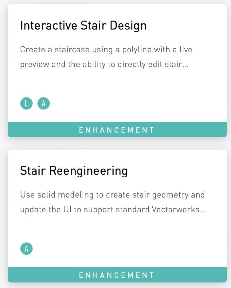
-
Full list of new features: https://app-help.vectorworks.net/2025/eng/VW2025_Guide/LandingPage/New_features.htm


