
Shane W
-
Posts
37 -
Joined
-
Last visited
1 Follower

-

Exporting Shapefiles from Georeferenced Files
Shane W replied to lisagravy's question in Troubleshooting
I should clarify and expand a little following my testing: What I have found: If I attempt to export GIS Stake Objects using the selection for "Objects with record: Stake Record" it returns an error: "An unknown error has occurred in this geographic operation”. I have tried with both ‘Keep projection’ and ‘Deproject' options If I try to export symbols (as per the instructions) - selecting 'objects with no record' - it will export to a file ok (adds 3D points to file name) but the georeferencing is incorrect (it places the points 10km apart instead of 9m, and at different places around the globe) so is unusable. Examining the attribute table in QGIS shows that no GIS data is included. I have tried every combination of 'de project' / 'keep projection' / 'write projection' on/off / 'additional data' (position x / y) on / off etc. If I do the above selecting 'Objects with record: stake record' - and select by layer (containing the symbols) it completes but exports nothing at all. (Tested twice - no file is created). The upshot of it all is that so far I am unable to get Vectorworks (2023) to export any georeferenced data that is useable. (By useable I mean it retains the georeferenced data, can be imported into / read by QGIS and display in the correct spatial position). I can import ok but I’ll be damned if I can get anything useful out! This either needs to be fixed or explained WAY better so it's useable. At this stage I'd rather do 2D design of shape layouts in QGIS than use Vectorworks. -
I had been told by my local supplier (Megabits) that this ANZ fence tool would be re-enabled / working in VW2022 SP2.. we're on to VW2023 and still I can't seem to work out how to draw a fence that follows the topography.. Is there a new way of doing this I'm not aware of or is it still broken? Seems like a very basic thing to be able to do. Especially in rural landscapes where fences are both common and important features.
-
Exporting Shapefiles from Georeferenced Files
Shane W replied to lisagravy's question in Troubleshooting
Interestingly. I have been playing with this and I had the same issue (Exporting a shapefile not creating anything). In that case it happened when I was trying to export symbols. If I am trying to export GIS Stake Objects it will create a file (not with anything useable/correct mind you, but it will create a file) ..but only if I select "Objects with record: <objects without record>" If I select 'Stake Record' it returns an error: "An unknown error has occurred in this geographic operation" So far I am unable to get Vectorworks (2023) to export any georeferenced data that is useable. (By useable I mean it can be imported into / read by QGIS and display in the correct position). -
Using VW Stake Objects for Uploading and Staking Out a Project
Shane W replied to Pamela's topic in Site Design
Is there any more recent updates on how to do this with Vectorworks 2023? I've tried exporting stake objects as Shapefile / DXF and neither works. The first gives an error, the second isn't properly georeferenced. -
Thanks Pat, I'll give it a try when I get a second.
-
Yeah that was what I was doing and it didn't work. (the blue boxes were simply rectangles that I had set aside to duplicate for use as viewports - so I didn't inadvertently crop the wrong areas and miss a row etc).
-
How to display different plant symbol tag styles on design and sheet layers
Shane W replied to Shane W's topic in Site Design
..Ok, mind blown 😄 .. Haven't gotten into data tags yet, but will give it a try! Thanks. -
How to display different plant symbol tag styles on design and sheet layers
Shane W replied to Shane W's topic in Site Design
UPDATE: In the meantime I've duplicated the plants on that layer to a new layer (unticking "include on plant list" so it doesn't mess up my totals), and changed the tag style of those instances and swapped layer visibility in the sheet. Personally, I would love it if Vectorworks could have an option to display tags / text / lines / dimensions etc (all the notations & labels really), in a particular way on different sheets allowing flexibility for how to display things. (Or if it can already for someone to point it out to me!) 😄 -
@Pat Stanford I tried this method but it didn't work. The second viewport (for the lower half of the worksheet) is always blank. I'm not sure what's going on but there seems to be something about Worksheets and that top left corner where the "data is" (you can see teh highlighted bit in the attached image). So the first viewport captures the sheet because it sees the data, whereas the second half doesn't. Is this a quirk or a setting I can adjust?

-
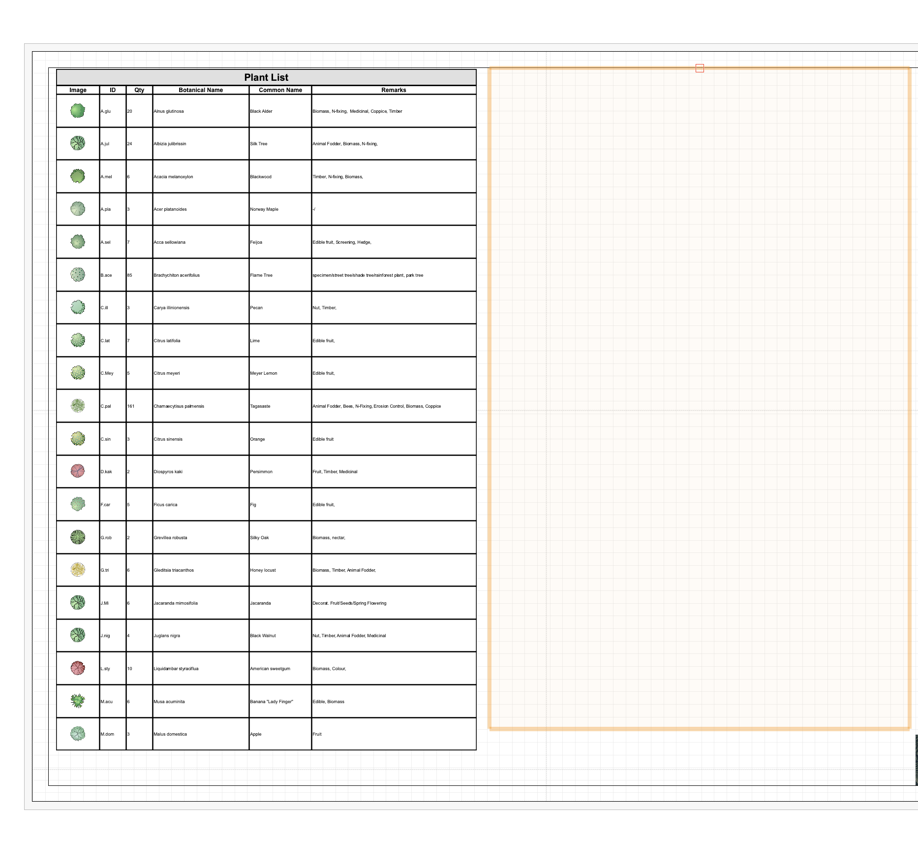
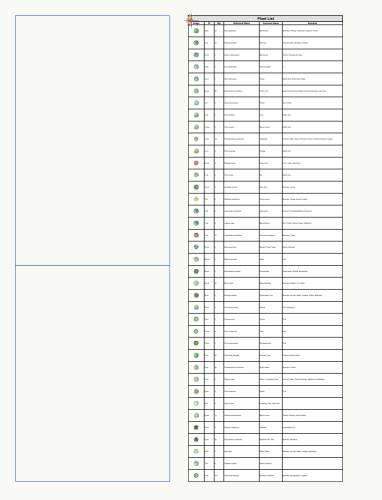
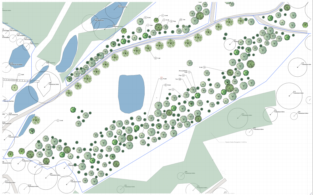
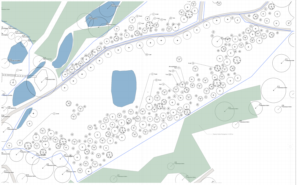
Hey, I'm trying to work out whether it's possible to have different plant tag styles on different sheet layers for the same plant objects in a given area. The reason for this is that I have viewports of of an area at different scales (one per sheet) and the plant tag style that is appropriate for each one is different - because what I'm trying to convey / how that sheet will be used is different. For example, I have a 2D Colour plan that shows what goes where and how it will look when established, and I have a plant list worksheet that will list all the plants that will need to be planted (giving total quantities), a version of the same with just B&W outlines, tick marks and plants grouped with tags showing quantities for each area.. (helping know the rough numbers needed for each area) ....but also I would like a 2D B&W plan using tick marks that has the tags (with ID) over each plant so that when planting they know precisely which plant goes where. This offers that extra level of detail to refer to, but doesn't make the other drawings too "busy" at that wider scale. Ideally I'd like to be able to change the plant tag display settings for just that sheet - rather than have to change it on the design layer. It may well be there's a more elegant way of achieving this, so I'm open to that too. How would others handle this?
-
Though today, it creates a new issue. I can generate the 3D graphics (Shell3) ok, but as soon as I save it.. the 2D graphics no longer display properly (as pictured). No apparent settings have been changed in classes or visibilities. Does anyone have any idea what is causing this? I have a dedicated folder of screenshots on my computer for all the weird Vectorworks graphics errors, weirdness and misbehaviour, but it's starting to really get frustrating because it's affecting my workflow due to the amount of time I have to spend working around or troubleshooting it. Insight would be very welcome.
-
I just noticed this happen again to me in a new project file... had to do the above trick and insert the plant into a new document, generate the 3D graphics and then re-place it in the original project - replacing the style with the new one..
-
Site Model & Plants not importing into Twinmotion
Shane W replied to Shane W's question in Troubleshooting
Thanks TomKen, I'll check that out. -
Site Model & Plants not importing into Twinmotion
Shane W replied to Shane W's question in Troubleshooting
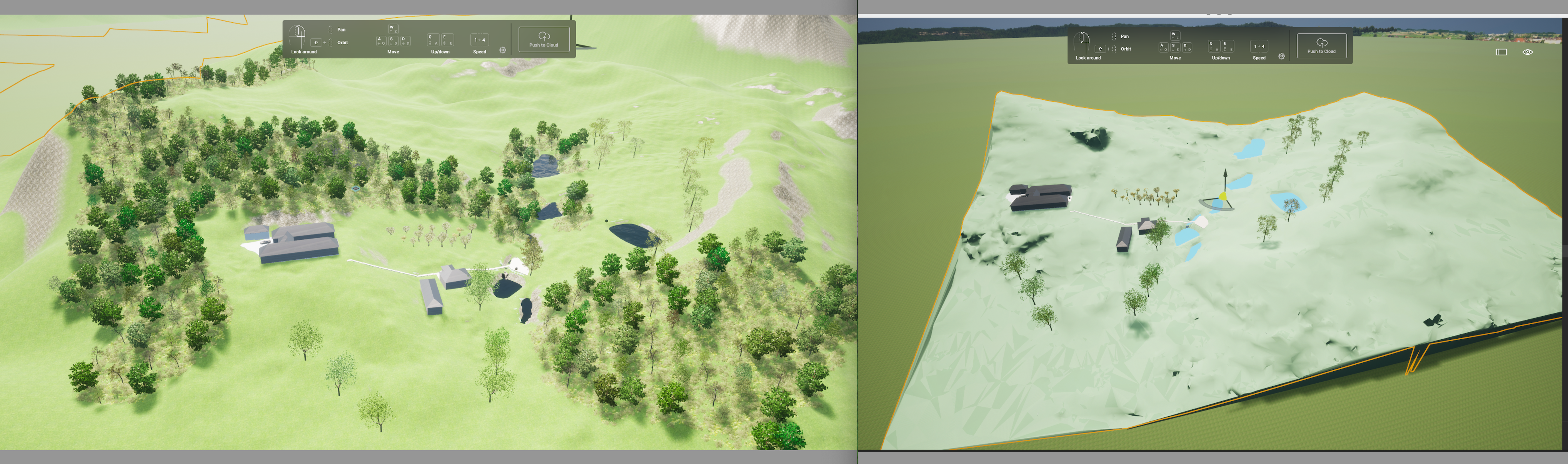
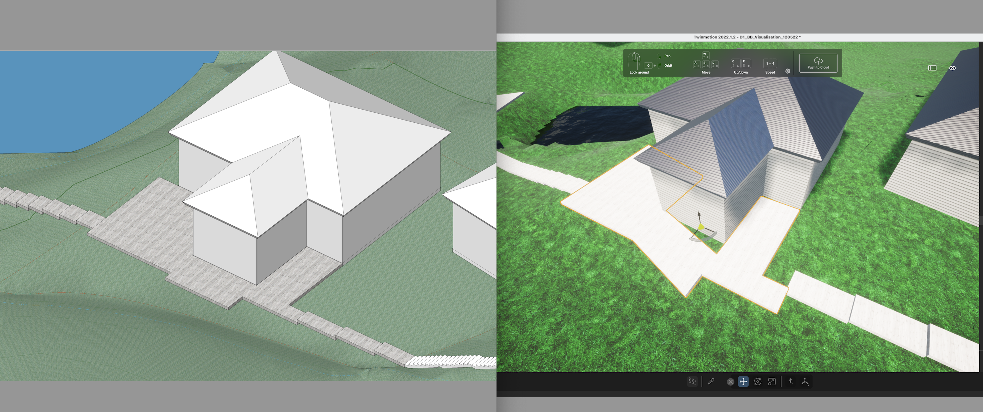
I'll take a look and see. In the meantime I found it actually was easier to just use the 'primitives' in Twinmotion, they are also easier to manipulate (for me) in TM than Vectorworks for the purpose of water volumes. I'm now a little gun shy of importing things and updating in TM, once I have what I need in there I'm anxious about messing with it - due to the likelihood of some things becoming "undone". Textures get cleared, sometimes my topography is reset (see attached) and so on.. I now also make sure I check over everything before I save the TM file as I've been caught out before when I didn't realise things had been lost and had to redo them. I've also noticed how certain extrudes import either in the wrong place (misaligned) or the wrong shape entirely (see attached). It's not a very robust workflow at the moment.

-
Site Model & Plants not importing into Twinmotion
Shane W replied to Shane W's question in Troubleshooting
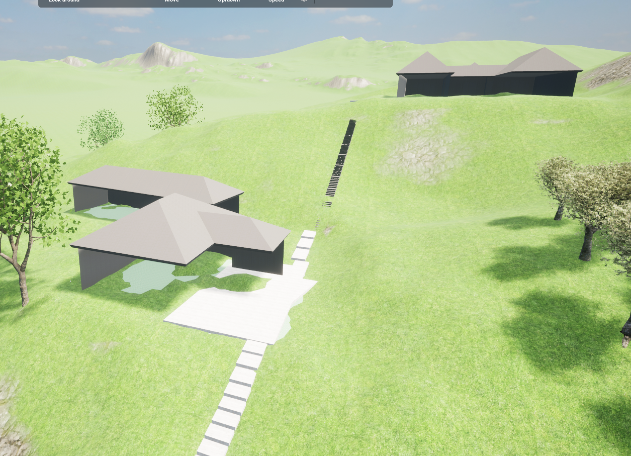
PS - another odd thing I noticed was that after refreshing my TM file I had the buildings (massing models from VW) suddenly lose walls [sigh].. ever experienced this?