When using the feature service to get GIS geometry I noticed a request limit of 2000 objects. When I want to download the 'DKKv4 - Kadastrale Grens' feature service from ArcGIS online, that's the dutch parcel property lines, a lot of geometry isn't being downloaded. This feature service contains a lot of lines so when I zoom out by only a little bit the 2000 limit will be reached. Making this feature not workable.
In Qgis using the 'PDOK services plugin' downloading from exactly the same source doesn't seem to be a problem.
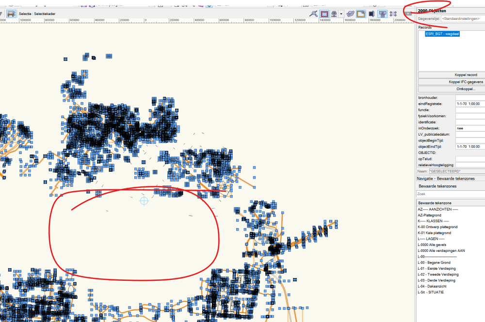
I've tried other sources like for example the 'BGT - wegdeel' feature service from ArcGIS online. When I zoom out a bit I'm also getting the 2000 objects limit. So it seems that it is not a problem of the source but a limit of Vectorworks?
Ping @iborisov Do you know about this limit? Is there a workaround?
I'm using VW2022 since version 2023 hasn't been released here.
You can post now and register later.
If you have an account, sign in now to post with your account.
Note: Your post will require moderator approval before it will be visible.


Question
MarcelP102
When using the feature service to get GIS geometry I noticed a request limit of 2000 objects. When I want to download the 'DKKv4 - Kadastrale Grens' feature service from ArcGIS online, that's the dutch parcel property lines, a lot of geometry isn't being downloaded. This feature service contains a lot of lines so when I zoom out by only a little bit the 2000 limit will be reached. Making this feature not workable.
In Qgis using the 'PDOK services plugin' downloading from exactly the same source doesn't seem to be a problem.
I've tried other sources like for example the 'BGT - wegdeel' feature service from ArcGIS online. When I zoom out a bit I'm also getting the 2000 objects limit. So it seems that it is not a problem of the source but a limit of Vectorworks?
Ping @iborisov Do you know about this limit? Is there a workaround?
I'm using VW2022 since version 2023 hasn't been released here.
Edited by MarcelP102Link to comment
6 answers to this question
Recommended Posts
Join the conversation
You can post now and register later. If you have an account, sign in now to post with your account.
Note: Your post will require moderator approval before it will be visible.