Search the Community
Showing results for tags 'points'.
-
I have a set of 244 2D [encl. with bound box loci selected to highlight area], (3D is an option I have as well) locus points and a single closed 2D polygon - in its own class and the locus points likewise in their own class. I want to export the points as a cloud of x,y points in this format: 1378385.1650620073,4938850.9892900344 [and with a ,0 for the 3D version - I don't need heights for this] What I want to achieve is a txt / csv / tsv type file, with a list of x,y,z I can then hand build into a GPX file to import to my gps. The points are currently simply 2D (or 3D) loci, and do not have record info so I can’t export to .shp (which is a bit silly of Nemet as any GIS will import very simple files). Neither 2D or 3D loci export to .dxf. This is a lot of kerfuffle for what is one of the worlds most basic and essential spatial data formats. I tried exporting as script file and I got the loci but 258 instead of the 228 that I have in my drawing I've converted my field edge and bounding box to 3D loci so I can verify against georef space. If it matters the file is georeferenced to EPSG2193 (a standard New Zealand datum).
-
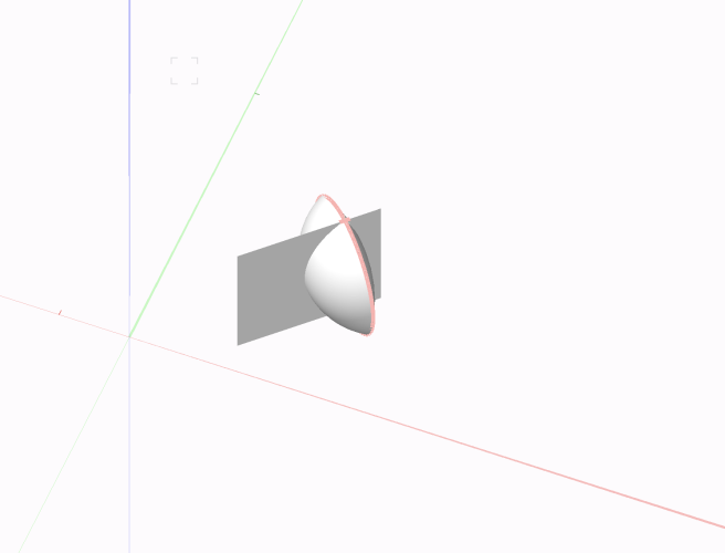
Hello everyone I'm looking for a way to find the intersection and the ring around the object. After a few tries with Poly 3D and Nurbs I am now asking you. Do you have a solution? Thank you for your help Ring.vwx
- 3 replies
-
- marionette
- points
-
(and 1 more)
Tagged with:
-
I wrote a script that creates a grid of rectangles (to be a column grid) based on points a set distance away from each other within a polyline boundary. How can I rotate the grid so that rather than the rectangles being rotated relative to the world XY, the GRID is rotated to align with the polyline (i.e., the grid's rotation is the same as the polyline, so the rectangles are rotated 0deg relative to the polyline). Part 1 is the script as it stands and Part 2 is the script when it's run.
- 1 reply
-
- rotate
- marionette
-
(and 2 more)
Tagged with:
-
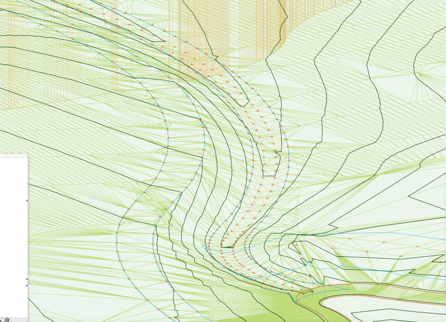
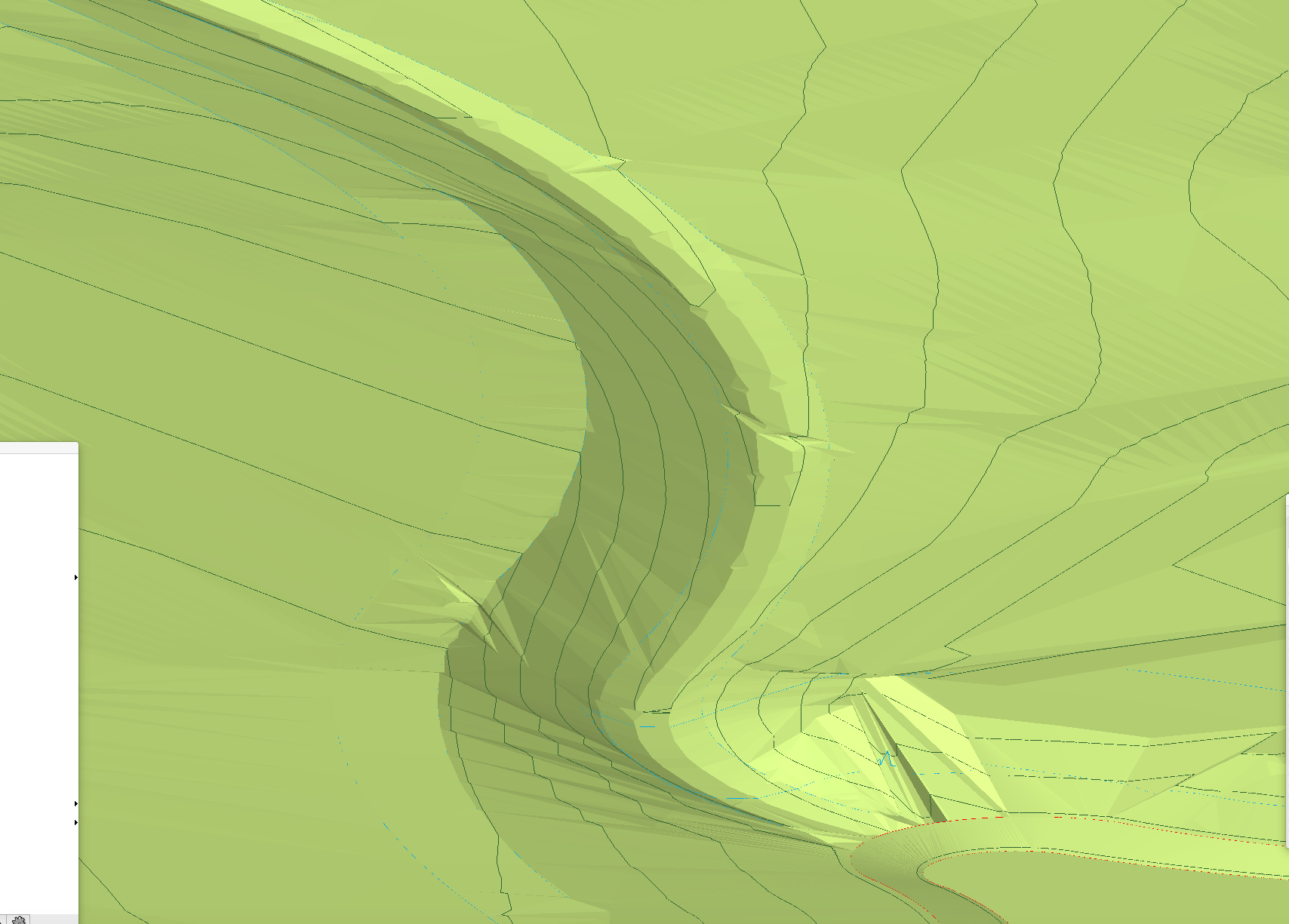
Is there an easy way to smooth my site model without losing too much accuracy? I have little jaggy bits showing in my OpenGL render everywhere between my stake points, as per images! Affecting some contours too.
- 6 replies
-
- site design
- site model
-
(and 5 more)
Tagged with:


