Search the Community
Showing results for tags 'slopes'.
-
Hi Folks! I'm new to 3D Vectorworks and I could really use some help. Current task is to model an underground parking lot with some 5% mono sloped ramps, some low-sloped slabs (2% to internal drain), and a few filler slabs to join the two types. Desired outcomes: tag/see the elevation markers at the tops & bottoms of the ramps & at the high & low points of the slab drainage tag/see a few interpolated points along the ramps which update when the ramp changes all spot elevation markers and slab elevation input parameters should be actual height - not relative to the floor level So far I've been using the 'hardscape-planar pad' tool for the 5% ramps and the 'hardscape-aligned' tool for the filler slabs. I find it very difficult to control the graphics of these tools, but the 'hardscape-slab drainage' seems to be the worst so I've opted for the 'slab' tool plus 'slab drainage' for the low-sloped slabs. For the ramp elevation markers, I made two data tags - one that displays the 'elevation' parameter and one for the 'elevation at end' parameter, but so far these only work properly if the layer/story height is set to 0'0" so I've used 0' for all parking layer heights. I've discovered that the 'stake' tool can be used to show interpolated grades when applied in a 3D view, but they seem to be static and don't update with the slab. Questions: Generally, does this workflow and use of tools / layer heights / data tags seem logical? Any suggestions to use properly set layer heights while maintaining the functionality of actual heights for design purposes? I noticed the 'slab' objects have a 'Z Ref' option, but I can't change it to anything other than 'Layer Elevation'. How can I change this to another value? How the heck do I change the colour of the slope arrow/text? It's always red despite changing all my project classes to black. It seems that the text within the object is being overridden to be red by default, but I can't change it without going through the right-click menu to 'edit 2D components', but then that breaks all annotation functionality for the object. What the heck am I missing? How can I lighten the drainage lines / text? Both the valleys and slab outline become black when drainage is added. Is there a better way to do add spot elevations in plan view to things like sloped slabs & ramps? Ideally I'd like to drop a tag into the plan and have it display the actual Z-height of whatever it lands on. I'm using Vectorworks 2024.v7 Windows 11 v.24H2 Sorry if any of this is basic 3D VW knowledge, but I've been scratching my head for too long. I remember this all being way easier in Revit, but that was some years ago. Attached are a test file and a screenshot of how I'd like the graphics to appear. Thanks in advance for the help people! 3D Slab & Annotation Test.vwx
-
- 1
-
-
- slabs
- spot elevation
-
(and 3 more)
Tagged with:
-
Hi Guys, Any ideas on how to put a fence into a site to follow the contours of the ground that slopes away from a building..... as most fences are in real life not infact, single perfectly level lines Vectorworks seems to work in!! Any help would be greatly appreciated Stu
-
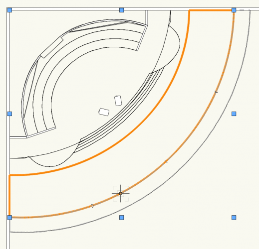
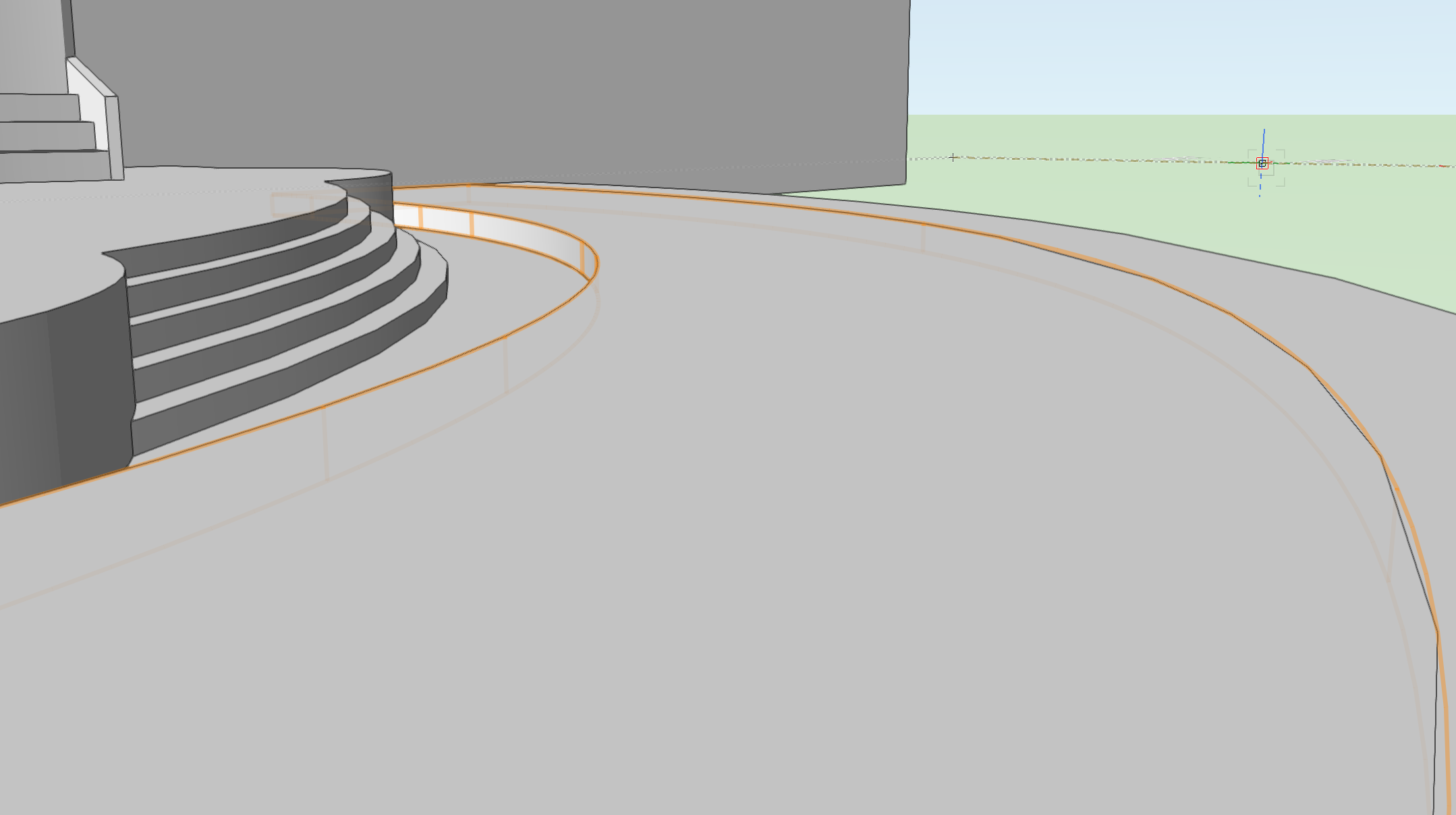
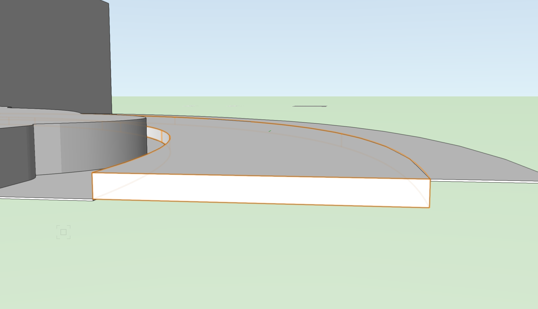
I don't typical get too detailed with slabs but would like to have this one drawn in for visual reference. I used the polyline tool to create the 2D shape and then extruded it and set it elevation. I would now like to slope it from front to back to create the slope of the slab down towards the stage.