Search the Community
Showing results for tags 'roads'.
-
I'm struggling to get the 'Create Roads from Stakes...' command to work. I draw a polyline + add the stations to it + that works fine. I then align the stations vertically + that works fine. But when I run the ‘Create Roads from Stakes…’ command things go wrong. Firstly, in VW Help it says “Select the center polyline or any of the station points, and select the command. The Create Road from Stakes dialog box opens.” But if I try + run the command having selected one of the station points I get an error message saying “This command requires a single selected polyline that has been used with the ‘Station on Polyline…’ command.” Ok that’s fine I can use the polyline, it’s just a bit strange that it says you can use one of the stakes but then it gives you an error message. So I select the polyline instead + this time the ‘Create Road from Stakes’ dialog box opens. But if I select to create a single Roadway (Poly) object it will create the road but it will be aligned with the ground plane, not with the stakes/stations. If I instead select to create a set of Roadway (Curve) + Roadway (Straight) objects I get a load of ‘Radius of Roadway (Curved) is too small’ messages + the road isn’t created (the radius is not too small by the way). I have tried this countless times in different files + on different site models + have restarted VW a few times too + on ONE occasion the road was created correctly on the plane defined by the stations, but only that one time + I can’t really see what the variables might be that would cause it to work this one time + not the others. Am I missing something or is there something wrong with VW? Thanks
-

VW Landmark Road modifier improvements
Edgar Kaare posted a question in Wishlist - Feature and Content Requests
Dear VectorWorks Landmark friends More and more i miss the Landmark road planning improvements, so i can plan the roads a little more flexible directly on the site model and so i can define the needed cross-section profile of the road side slopes etc. icluded. Here is a good example from Revit (please notice: the awfull background music should be muted): https://youtu.be/tw7_hLQo_H0 So far I understand, is also Revit not a specific road planning software, but still they have the compadibility for planning the roads a little more functional way, not just as a flat cross-section profile based way. This is clear, that i dont wait from vectorworks to have the 100% functionality of road planning-engineering software like for example Bentley Microstation has the InRoads software etc., but a little more functional tools are really missing to have a bit more roadworks and sometimes the communication with the engineers done a little more efficient. Hoping for improvements in next Landmark Road planning tools. Thanks a lot! -
Hi again, Has anybody ever had trouble with new roads on the proposed landscape/pads? whenever I update my site model, a pad with a newly created road reverts back to the existing site model? I cannot seem to get it to hold its new form while the road is present. Any advice would be really appreciated. Thank you!
-
Using Landmark for about two months now and running up against what seem to be software limitations. Are there tools in Landmark for creating complex roads/paths with custom profiles, ie various curb and crown profiles? This is a HUGE must for modern day landscape architects. More specifically, we need to be able to create roads with stations such as in the polyline road tool, but with the editability of the nurbs road tool. We also need vertical curve/alignment controls. The problems with current tools: -non-realistic relationship to site model/grading and lack of vertical curve controls -lack of profile controls, ie crown and curb/gutter profiles -lack of customizability and accuracy. We need to be able to create a road with various stations at varied elevations with various curband gutter profiles and customize turning radii at junctions.
- 3 replies
-
- 2
-

-
- site modeling
- grading
-
(and 1 more)
Tagged with:
-
-
- roads
- site modeling
-
(and 1 more)
Tagged with:
-
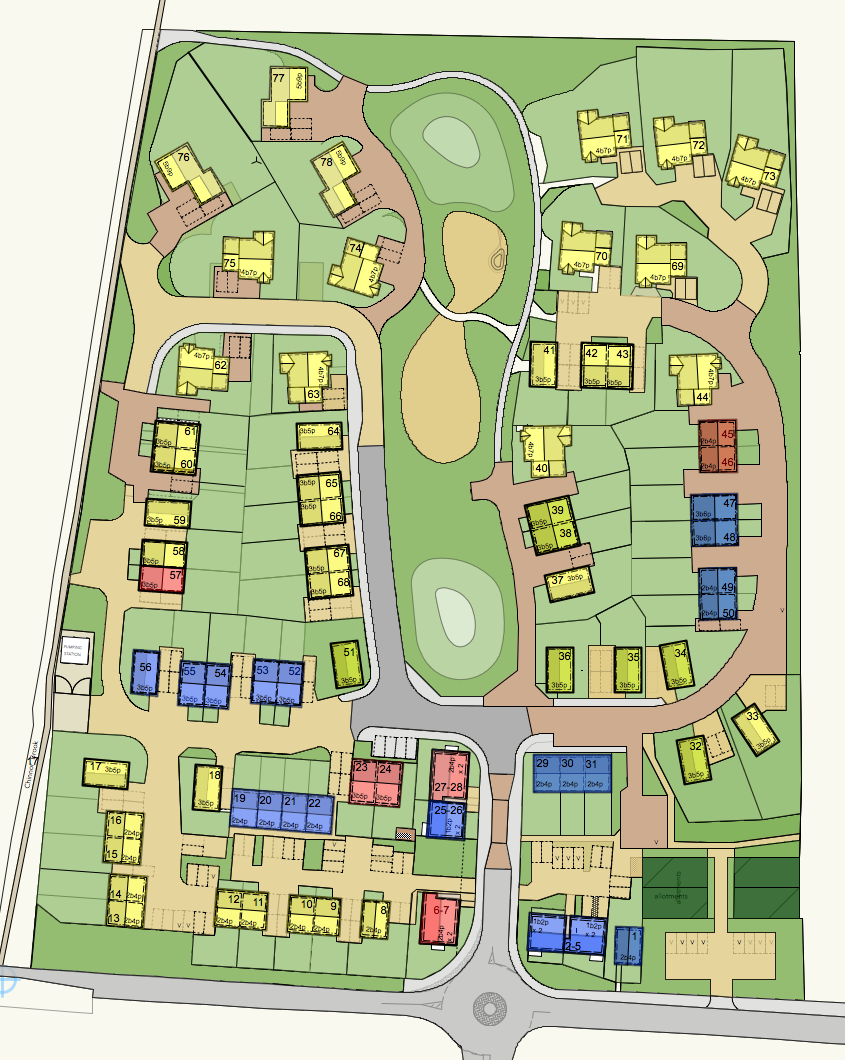
Does any have advice for producing an all singing dancing DTM for the attached site plan? It's slopes about 9 m in elevation across the site. I've used DTMs on occasion but nothing substantial. This is the first DTM that I've done which is reasonably large and complex and which we will rely on heavily for documentation. 1. I started by laying out roads using the Roadway tool but I soon ran into the limitations of this tool. Unless roads intersect nicely at rights angles etc it seems pretty useless. Is there a more flexible way? Model my own modifiers and roads? 2. I've also found in the past that it's easier to use the 3D Polygon tool to form site modifiers—placing them on the modifier Class—than it is to use the Site Modifiers tool. I find it easier to create the shapes I need. However there doesn't seem to be any way to use 3D Polygons and also produce a retaining edge. Am I missing something? 3. How best to group modifiers? Should I create large pads forming the mains steps in the site (which will include building sites, gardens, roads, etc.) or should I start off straight away modelling the roads and separate pads for gardens, building sites etc.?
- 16 replies
-
- dtm
- site modifiers
-
(and 2 more)
Tagged with:


