Search the Community
Showing results for tags 'lidar'.
-
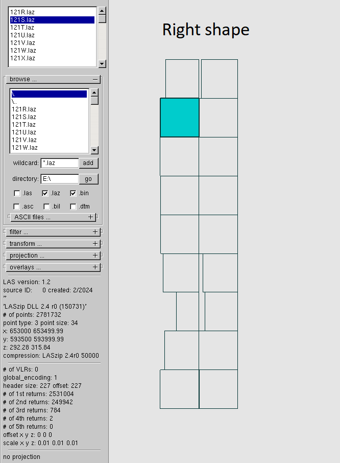
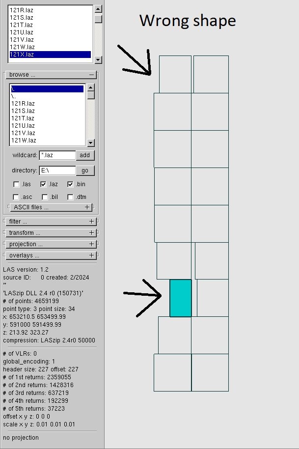
Hi everyone. I worked in MicroStation on classification of LIDAR. And after I converted .las to .laz I used a macro for .laz files to classify from one class to another. So, that operation broken the shape of my files. I don't have any backup for files so if I don't find a way to return the right shape of .laz files I have to start my work from the start. Is there any way to fix shape of .laz? Or maybe I can fix it manually to set, somewhere, the right coordinates for each corner of the .laz file? I attach examples of shapes which are right and wrong and examples of warnings which I received when I tried to convert broken .laz to .las by laszip. I will be appreciated if somebody helps me.
-
this looks interesting : https://developer.apple.com/videos/play/wwdc2022/10127/ parametric file seems to be brought straight into Blender. On another note, scaniverse on app store is excellent (and free!) , and the point clouds import nicely into vectorworks.
-
I have been trying to import a large point cloud and I cannot seem to figure out how to get it to the right scale. I have tried every combination of units, both pre-setting drawing units and changing the point cloud import units and nothing I do has yielded successful results. The import has yet to come in at the right scale or x,y,z location. Anybody out there with some tips?
- 13 replies
-
- 1
-

-
- lidar
- point cloud
-
(and 2 more)
Tagged with:


