Laura Stone
-
Posts
178 -
Joined
-
Last visited
Content Type
Profiles
Forums
Events
Articles
Marionette
Store
Posts posted by Laura Stone
-
-
I can get the IFC Floor name correctly in the mapping tab of the IFC export but does anyone know how to get the floor description, floor elevation and floor height?
Thanks
-
On second thoughts I don't think I have Keyboard Maestro, but maybe a conflict with something else?
-
And tried complete reinstall without importing any user data/workspaces and still not working
-
Repair unfortunately hasn't worked
-
Yes that worked perfectly! Also solves a few other problems with IFC data from survey showing up in my exports.
Thanks
Laura
-
 1
1
-
-
I don't seem to have that option, maybe because I only have the free version of Solibri.
Thanks
Laura
-
 1
1
-
-
I hadn't, so thanks for the suggestion. Do you know where I'd see the COBie category in Solibri so I can check it without having to send to anyone else?
Thanks
Laura
-
I'll give it a try, but a bit scared of the data manager!
-
 1
1
-
-
I have a file where I have entered all of the Uniclass 2015 classification, so if I pull up the COBie Type worksheet the Category is filled in using that info. However apparently when I export an IFC the COBie category is not included. I can't work out where to input that information so that it ends up in the IFC file. Can anyone help?
Thanks
Laura
-
Thanks Pat, I'll give that a try tomorrow
-
Just opened a new file and tried, still not working, maybe something wrong with my installation.
-
Activate layer (right click) doesn't seem to be working in VW2025
-
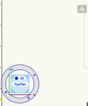
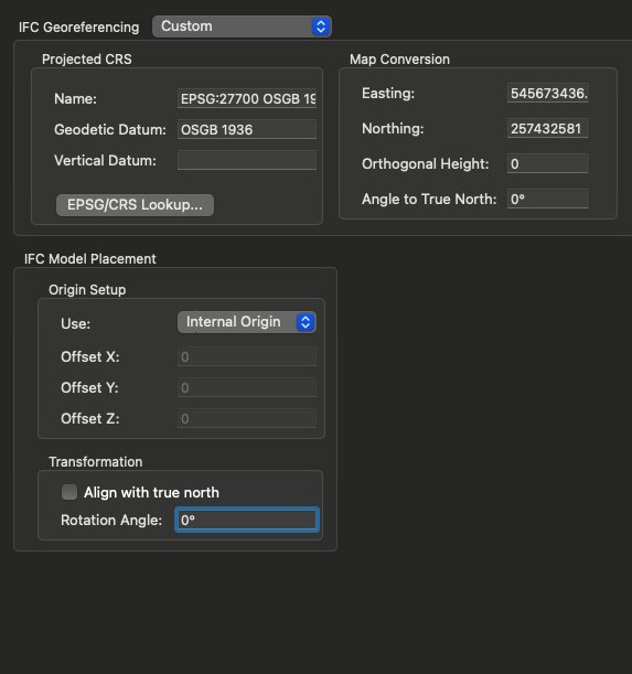
Bit of an odd one, so I exported with a rotation of 239° or so as project rotation, and Solibri showed the drawing rotated from north. I was then told that my drawing was at the wrong angle for the federated IFC model. On downloading the Architect's IFC and looking at it in plan in Solibri it is pointing north. I had previously tried adjusting angle to 239° from true north in the georeferencing and then 'undid' it feeling a bit nervous. Weirdly the georeferencing now says 0° but (see below) my north point is pointing in an odd direction.

I then exported IFC with no rotation and apparently my drawing is now magically in the right place.
-
Is there a way to detach IFC data from parking spaces in the same way that record formats can? I want to detach the IFC so that they don't export to my IFC file.
Thanks
-
Just a bump - this is now available in VW2025
-
 1
1
-
-
I am working on a project where apparently the angle to true north is 239.269243866987° (no idea why either!). My drawing is to true north and I really don't want to mess around with it at this stage but I am being asked to export an IFC to co-ordinates and at the 'correct' angle. I can see from a previous thread that this wasn't possible in VW2023, but is it something that can be done in this part of the IFC dialogue in VW2024? My internal origin is slightly out but I know how to fix that. Thanks. Laura

-
Hi Sthavya, thanks for the information
-
Am I right in thinking that this isn't available in Vectorworks Landmark?
I've been asked to produce a report but doesn;t seem ot be listed in the options
Laura
-
For a perimeter fence like the one you've shown I find the easiest way is to go to sketchup warehouse where someone has modelled all of the Zaun panels, choose the one I want, download, then convert each of the wires into a tiny extruded square (cuts down on drawing time and practically invisible difference).
This then becomes a symbol infill for a fence.
-
-
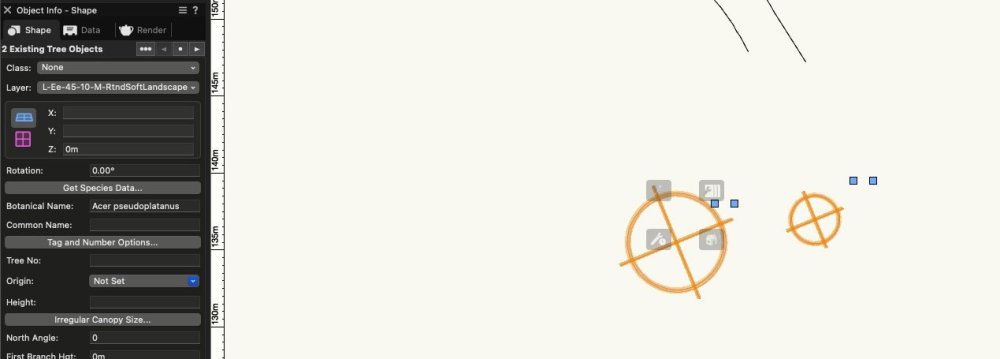
I'm finding that the existing tree objects are very unstable. If they are moved they have a tendency to decompose into their constituent parts. I have imported a tree survey that has no co-ords but the I have the location in a drawing. Moving the trees to the correct locations is proving very difficult.
-
In the end I downloaded a trial of Rhino and exported what I needed as 3DS - that gave me some workable objects.
Thanks
-
I'm trying to import a Rhino file without success, keep getting a failure. It has been stripped down to just buildings but still not working.
Is it worth continuing or is it just unstable as an import option?
Grateful for any help
-
I went from the VW window into the Autoturn webpage, opened the drawing and shut it again and it seems to be working now.


VW2025 Activate layer
in Troubleshooting
Posted
Yes thanks, this works for me too