Search the Community
Showing results for tags 'grades'.
Found 2 results
-
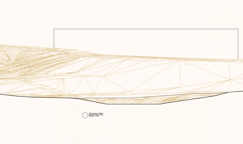
Hi, I have made a section in a site model and would like to put out some heights/spot elevations on the terrain. Can you do it and what tool would you use? Thanks! /Elin
-
in the most basic form, a Site Model would be great to show a 2D plan with Existing and New grades (contrasted by line style). WHAT is the workflow to create this? Does VW only respect Site Modifiers to show exist vs proposed?