Search the Community
Showing results for tags 'file_format'.
Found 1 result
-
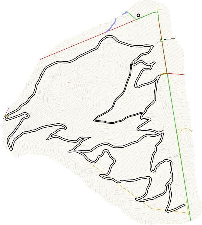
Before I reinvent the wheel I'm asking here to see if anyone else has got a workflows for exporting .gpx file. I want to use one from a drawing in my Garmin Etrex 32x to set out a walking path. I know there's a workflow to get one out of QGIS but want to know if VW offers a more straight-forward route for my very windy path - about 1200m: image encl. for anyone interested. openstreetmaps have kindly written up the gpx format, and I can build from scratch from a points export but hopefully there's a smoother way.