JackMatsedi
-
Posts
19 -
Joined
-
Last visited
-
Thanks Jeff. At least I have learnt a lot from this discussion. Thanks a lot.
-
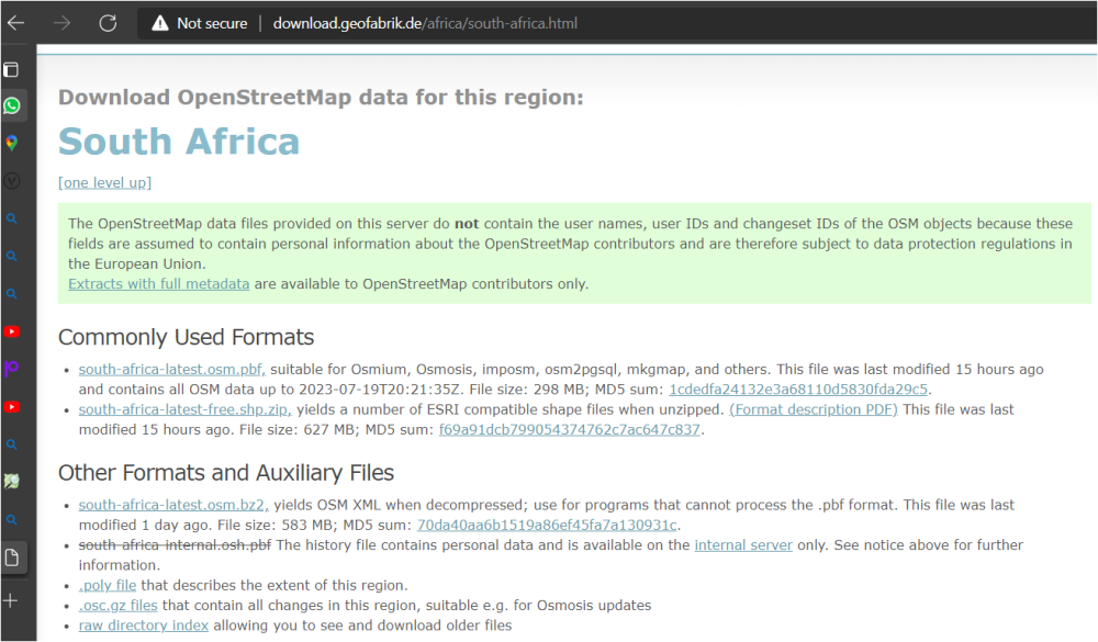
I got this site for downloading shape files. Will this work?
-
In you first response you said I can import shape files. Where do I get the shape files for the map indicated?
-
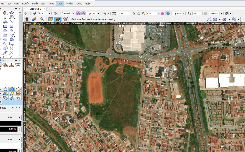
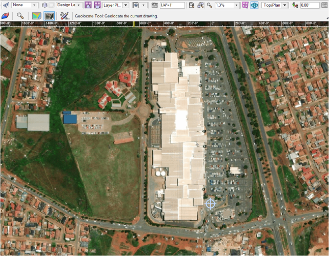
These are the coordinates: -26.27618, 27.81179 I am also stuck here, I do not know how to change the map to 3D buildings. I see somehow one has to import IFC files for the same map but how do I get these IFC files to import.
-
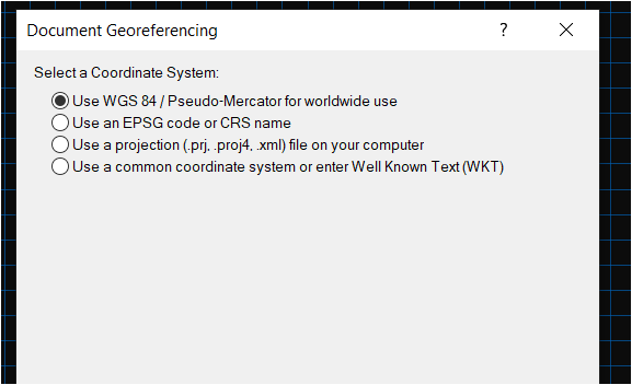
I have used Mercator for worldwide use and I do get the map for my location but it does not download completely as it appears on google mas. the image above is what i am getting. what could be the problem?

-
I saw this video: https://youtu.be/H5kQlGnHaLY Exactly what I was looking for. I have also went into Vectorworks University, lots of info there. Thanks a lot.
-
😓 m happy to hear this is possible but i will not be able to do this from the explanation. Isnt there a video or learning material of how to do this?
-
Hi Guys I want to design a part of a shopping complex, but this is difficult without a GIS. Is it possible in Vectorworks to import a site like from google earth and turn it into a 3D. For example, Lumion is using openstreetmap to download a 3D site based on address. What feature is available in Vectorworks that is similar? Thanks
-
Thanks Tom, it really worked to my liking this is what I wanted the whole time.
-
Is there a video on how to scale?
-
I cannot use the scale command or maybe im using it wrong
-
Here is an example in the attachment: The W X D X H is 4 and not editable.

-
Others are fine: Also, how can we edit the overall size of such downloaded objects? On the Object-Info Shape eirther there is no place to edit or there is but uneditable.
-
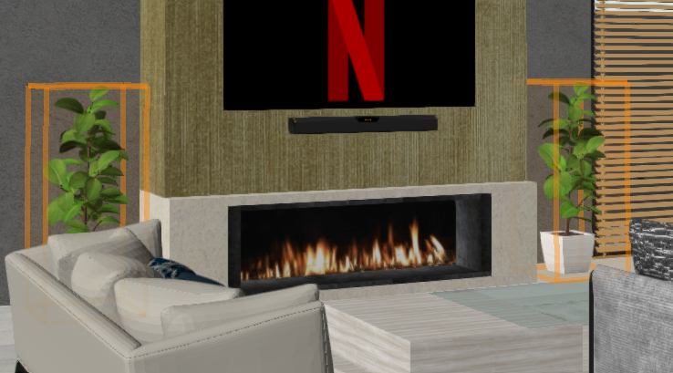
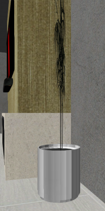
Why is most of the plants downloaded as SKP or from Vectorworks look flat? see the image below:
-
Thanks for all the advice. image will work, i never thought of it.