Ylenia
-
Posts
4 -
Joined
-
Last visited
Content Type
Profiles
Forums
Events
Articles
Marionette
Store
Everything posted by Ylenia
-
Hi everyone, I have two questions, the first one is regarding the stakes. So far I understood that I can set stakes so that they show the height of the existing or proposed model. I was wondering if there was a way to set them so that they also show the heights of objects. E.G. I have a building with a roof terrace, I draw the building in 3D with the given tool, can I put a stake so that it automatically shows the height of the terrace when placed on it? Is there another tool that is not a stake doing that? Mz second question is regarding the Hardscape tool, so far I have been using thexture beds as surfaces for my models and in plan they look totally fine both in 2d and 3d, But with them I always have to draw sections separetly, now I am trying to set my works in a way that I only draw slabs with a pre created style so that I can work more with automatic sections. Problem is sometimes they don't show on the model but they look like they are a couple mm under it. I guess is because they are at the exact same height of the terrain and the program chooses to show the terrain (?) (I have the slabs on a separate layer that is on top of the model layer) I try to make an example here: I have a model with a pad modifier setting a slope from 1m to 0, on top of this I draw a 50cm thick slab (composed by 3 different layers) sloping also from 1 to 0, in the properties I set the "Datum" to take into account the upper surface of the first layer of my slab, cause I want that to be at level with the terrain. Is there a way to avoid this or my only option is to set the "datum" to the lower part of my slab top layer? Or even worse to set my slab 1cm higher then the terrain? I attach a screenshot, hoping that it will make my words more clear thank you a lot!
-
Did it. Thanks!
-
Hi guys, i have a question, more about the settings of the program than a way to draw with it. When creating an hardscape is possible to show the annotation with the name of the surface and the area and perimeter. My verison of vectorworks is in english, so the annotation displays for example "Main area: 100 sqm". Is it possible to change this settings? And instead of that having something like "Surface: 100m2"? Is it also possible to have the annotation in another language in case? I already tried with the document setting, but if i change there from "sqm" to "m2" it changes just in the object info and not in the annotations! Thanks for your answers
-
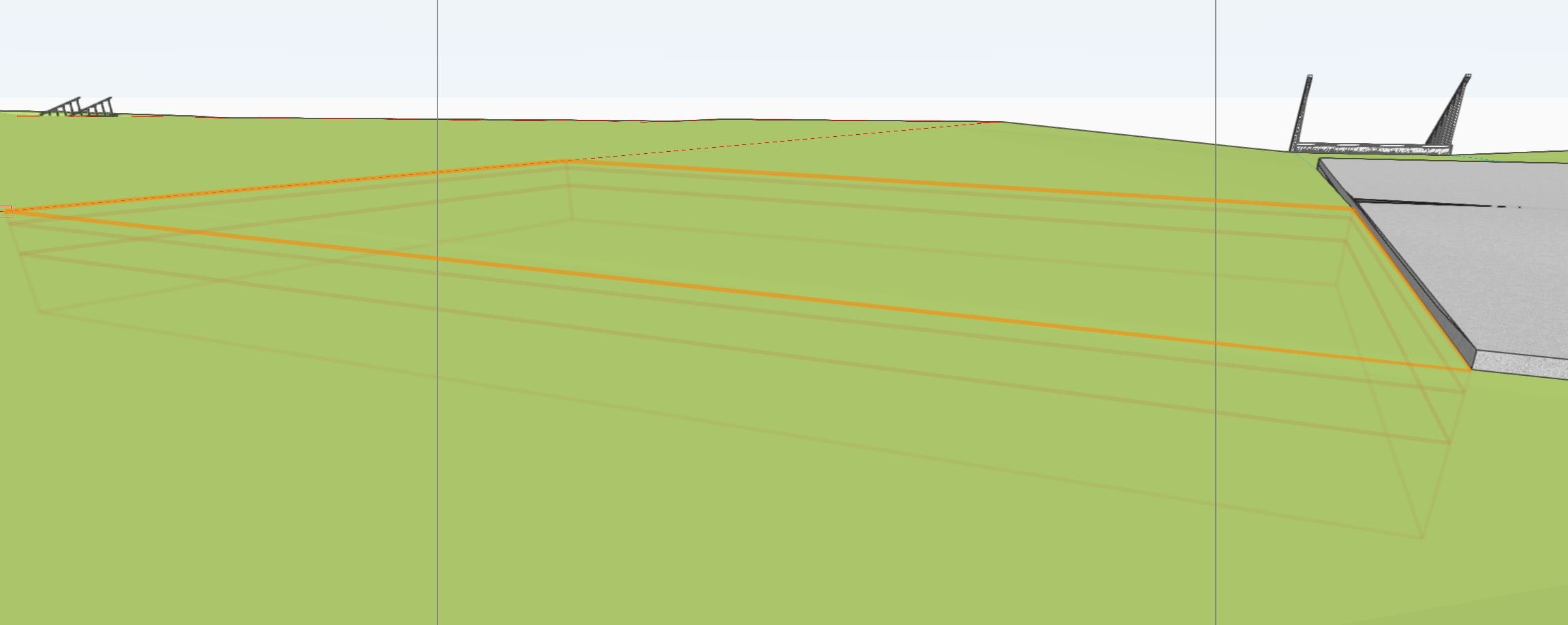
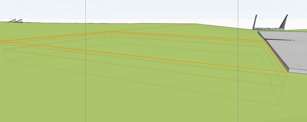
Hi guys, i´m sorry if my question to you VW-veterans might look stupid, but i really need some help with this. In my existing model I used site modifiers to show an existing ramp for cars that from the street level goes to the building level. In my proposed model this ramp has to go away and everything has to be even out at the building level. (There would be a retaining wall along the street) Now I tried to draw the ramp both with grades and pads applying only to the existing model and it works fine ( I think, at least it´s shown correctly in 3D), the problem comes when i want to fill everything. How can i do it? I thought the easiest would be drawing a pad on top of it and apply it to the proposed model, but it doesn´t work because the proposed model still shows the ramp as if the pad on top of it would not any effects inside it, but just along its borders. Could someone please help me? Did I draw the ramp wrong in the first place? Shoul I have used something different from the Site Modifiers? I´m still at the beginning I don´t know so many tools and i couldn´t find a helping tutorial. Thanks