About This File
Hello,
In landscape architecture, the use of pipes is relatively infrequent. However, in Building Information Modeling (BIM) projects, it becomes essential to demonstrate the positioning of our pipes. This ensures that there is no conflict with other infrastructure elements. To facilitate this, I have developed a straightforward Marionette script.
For optimal use of this Marionette, please adhere to the following guidelines:
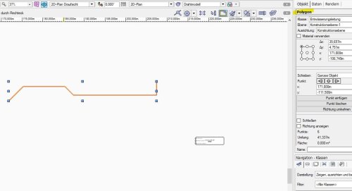
Convert 2D Lines to Polylines: Ensure that all 2D lines representing the pipes are converted into polylines to accurately process them in the script.
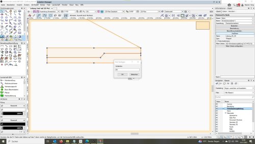
Specify Pipe Diameter: Input the diameter of your pipe in millimeters (mm). This measurement is crucial for accurately modeling the physical space occupied by the pipes.
Enter NHN Height: Provide the elevation (height above a fixed reference point, typically NHN) in meters (m). This detail is vital for establishing the vertical positioning of the pipes.
Gradient Input: For the pipe's slope, input the gradient as a percentage. Use positive values for rising slopes (e.g., 0.8 for a 0.8% incline) and negative values for falling slopes (e.g., -0.8 for a 0.8% decline).
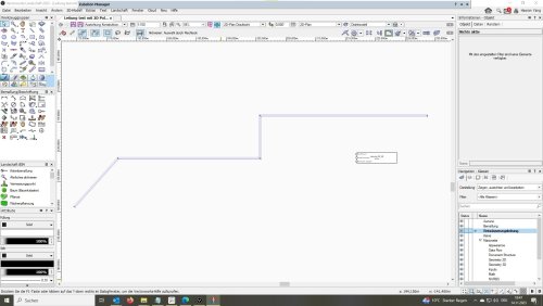
By following these steps, you will ensure that the Marionette effectively models the pipe layout within the landscape component of your BIM project, aiding in the detection and resolution of potential conflicts with other project elements.
Best regards,
Haoran
Edited by Haoran Yang
What's New in Version 1.0.1 See changelog
Released
löst einen Bug.


