.thumb.jpg.bf866c27e32041c9bc1071949e15dc32.jpg)
Hey all. First serious shot at this, so bear with some noob questions.
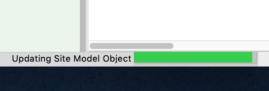
Trying to pull in a .LAZ file to make a site model.
I found a good LiDAR map of the site I need to model. File size isn't too bad. About 85MB.
Here is the place I downloaded the file:
https://viewer.nationalmap.gov/basic/
I search around using the term "bogachiel state park", and choose that blob.
No idea of the relative scale other than it is an X,Y,Z coordinate file. And that makes sense. Shoul