
Search the Community
Showing results for tags 'raster'.
Found 3 results
-
 I have not yet tried this but have not found anything in help files or other questions and no sense reinventing the wheel if someone's managed it. I want to know if Marionette can parse or read raster file data, e.g. count pixels of a given colour/color and produce summed counts of those colours. E.g. from this simple 4 colour + white image: Why I'm doing this is I'm producing planview landscape planting concepts in a digital painting program, thresholding the artwork to reduce the colour space to represent plant zones (eg 4 colours > 4 zone types in encl.), and then counting pixels via imagemagick to work out planting areas. But then have recently wondered if Marionette can count pixels.
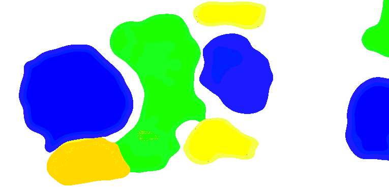
-
We're working in EPSG 27700, and have a drawing with plenty of content already created. I need to send some of this information out, ideally in EPSG 4326. I have tried to just change the EPSG in the existing document properties... which seems to perform a transformation of my geometry depending on the options for transformation I have selected. However, when I export (for example, an image file with associated georeferencing file,) the export still references EPSG 27700 co-ordinates. Am I doing something wrong here? Does Vectorworks perform georeferencing re-projections like this? (And if so, what's the right workflow?) If not, I can work this out in GIS - I just thought it might be neater to do directly!
-
- 1
-

-
- gis
- georeferencing
- (and 3 more)
-
Design Layer Raster Rendering defaults to 72 DPI in Document Settings. Isn't that quite antiquated ? I measured my old 30" Cinema Display that is far from any Retina Display today. Even for this I get a Display Resolution of 102 DPI. And I thought, 72 DPI was CRT only decades ago, all upcoming LCDs had about 90 DPI ? As my experience with higher DPI settings, since I use SL VP Renderings, was very positive, I also increased my DLRR to 150 DPI (so more than my Monitors 102 DPI) EDIT : looks like 102 DPI = Monitor Res is better though. So far I see only advantages as Line Display in OpenGL is much better now, even my Finder VW File Icons Preview look no much sharper and better. So my question, do I miss any disadvantages ? Will this really make my OpenGL slower or weaker ? Does this also help 2D Views line quality ? Anything else ?

