Search the Community
Showing results for tags 'spot elevation'.
Found 3 results
-
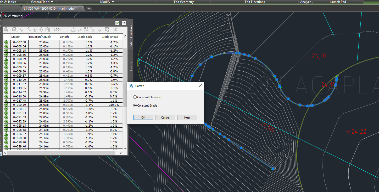
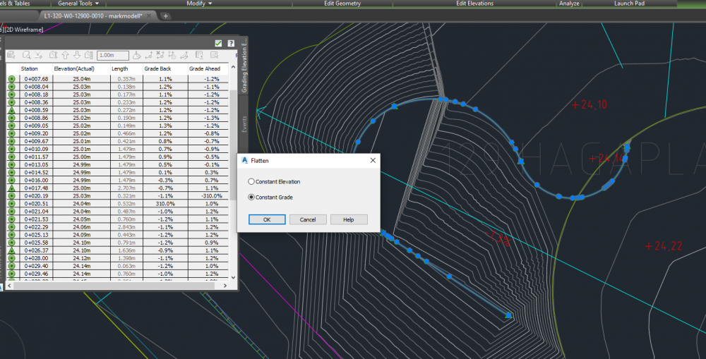
Hi, at our office we are using civil to make grading plans today. Although our plan was to start using VW landmark to do this. When we have been trialing this there are quite a few tools that we miss in VW which are our most important when we are putting out elevations and grades on our plans. For example in Civil, we can draw a line which at every vertex has an elevation. Every vertex we then can set a new height to, and the line and site will change. Further we can pick a group of these vertex and give them a slope, for example a "constant grade" along this line. See screen shot below to understand how it looks like in Civil. Another great tool is to be able to hover the cursor over an area and it then show us the elevation in one point immediately, as well as hover over a sloping area and it will tell you towards where and how much it slopes. Next thing id like to see in VW is to be able to have an area (such as a pad/hardscape/or just 3D lines) that in every corner can have different elevation values which you can edit. I understand that this is not desirable on floors in a building, but when planning landscapes the ground is hardly ever completely flat. I'd like to see a greater flexibility here. I've seen that aligned hardscapes has this modify surface tool, but for now it is not good enough. For example this is too hard to use because first you need to go inside the object to edit, secondly when putting out grades or stakes on it, the elevation resets to + 00.00 because then the object you are modifying is the 0. This is very annoying and difficult to understand unfortunately. Would it be possible to integrate these tools into vectorworks? Why haven't you already? Thanks alot! Elin
- 11 replies
-
- 3
-

-
- grading plans
- landmark 2020
- (and 3 more)
-
 When using the stake tool, you currently have the option to "Set Elev to Site Model" as a way of creating spot elevations for a grading plan. This is great when documenting the surface of a site model for high points and such, but often the elevation we are looking to document is actually a feature such as finish surface, top of wall, bottom of wall, etc. These items are placed on top of a site model, so a stake object trying to query their top elevation will only return the elevation of the underlying site model. There should be a way for the stake tool to recognize modeled elements in the drawing to pull this information into its reference.
- 21 replies
-
- 12
-
-
- site model
- grading
- (and 2 more)
-
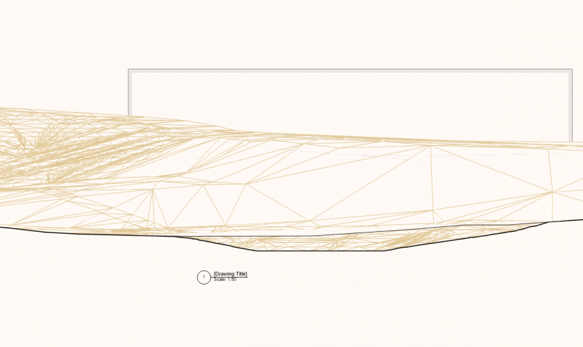
Hi, I have made a section in a site model and would like to put out some heights/spot elevations on the terrain. Can you do it and what tool would you use? Thanks! /Elin