Search the Community
Showing results for tags 'site model grading plan'.
-
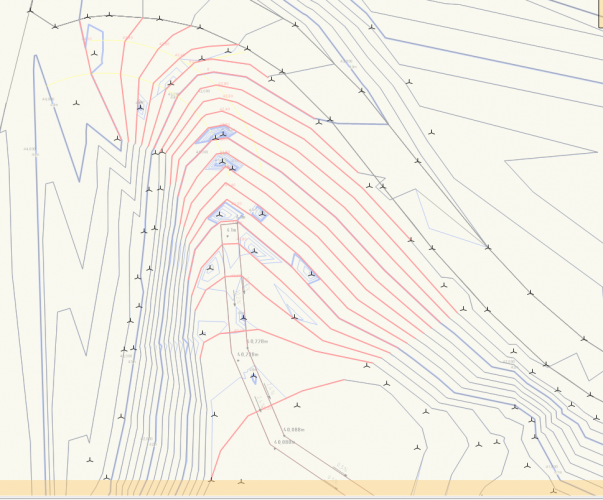
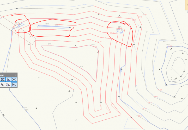
Hi, I am using c ontours to make changes in my site. When I draw them as proposed and update the model (which is also showing proposed), the 3D-locust that the site model is built up (source data) of is still affecting the terrain. Why is it like this? I don't really want to delete the imported info cause I still want the original (existing) terrain to be correct ... Ill post some pictures below .. Thanks for help 🙂
- 2 replies
-
- site modeling
- site model grading plan
-
(and 3 more)
Tagged with:
-
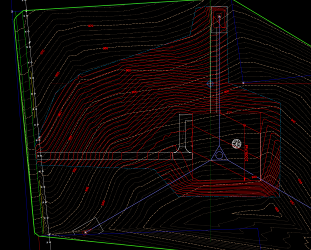
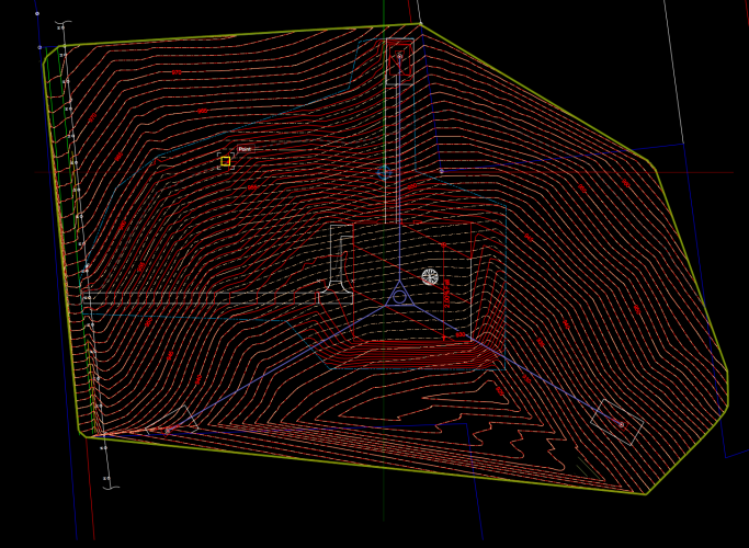
I have been wrestling this problem since 2016. Its beyond frustrating at this point. It seemed to be resolved only in 17. Now Its back in 19. The first image attached is how I would expect a site model to look when in 2D. The existing contours that are not effected should remain on that line style and only modified within the grading boundary our limit. However when I update the model in 2019 it draws proposed contours outside of the grading boundary overtop of the unaffected existing contours. Which almost makes the model a waste of time. The whole idea here should be to present a working model showing existing and proposed contours. This should be resolved. Otherwise you have to generate 2 models break them into snap shots and overlay and do additional time consuming tasks due to the error. The second image shows the undesired result, which essentially gives you a faulty visual output. For the love of all things VW's can someone please explain why this happens? @Benson Shaw could you maybe shed some light on this? I seem to recall you having a lot of knowledge on these? @Eric Gilbey, RLA ASLA @Tamsin Slatter any thoughts here? When I run this model in 2017 I do not have this issue. As soon as I open in 2018 or 2019 (making no changes at all) those versions seem to create the issue.


