Search the Community
Showing results for tags 'landmark'.
-
I need to sell my 2020 Landmark license.
-
Q: How can the 'Tag Bottom' = Latin Name show up in italics on my plan? Is there a way to assign a Text Style to 'Tag Bottom'? Plant labels on my plan - the result is Thanks in advance for your help! ~ Lara
- 1 reply
-
- landmark
- plant tags
-
(and 1 more)
Tagged with:
-
Hi guys, I've been using Vectoworks Landmark since 2017 and, at this moment, I use it as my exclusive software. Each project that I develop with Vectorworks I try to enhance the BIM capabilities of the software (IFC import, water budget, plant schedule, etc.). After seeing the webinar with Eric Berg, I saw that I have a long path to walk... The questions that I would like present are: Do you reccomend a specific online course? Last year I did one about Sustainable Site Design / Analysis and helped me a lot. Do get to a "smart design", I saw a lot of custom spreadsheets. Are they done with the normal spreadsheets or are you using other resources? Can you give your feedback to "step up the game" and use all the resources that VW offers? Thanks!!
-
Hello Site Design forum members. Have you been implementing any workflows which integrate with GIS data, imagery and/or geometry? If so, please reach out to us at landmark@vectorworks.net . As many of you know, we have recently joined Esri's partnership program as a Silver Tier Partner. Through this, we have several opportunities to reach other design professionals like you who are looking to improve their site analysis and planning workflows, but less aware of how GIS and related geospatial resources enable them to do that within Vectorworks. We believe that sharing your workflow examples could inspire them to do just that. The recent release of Vectorworks Landmark, Architect and Designer 2020 introduced new GIS integration features, such as Geolocate and Geoimage, which can save a great amount of time in providing georeferencing to a file, or in adding visual context for the planning work you are including as part of your project deliverables. Prior to this year's release, and still certainly available, is the ability to import georeferenced shapefile (SHP) data and georeferenced image files, such as GeoTIFF, TFW, JGW, BPW, etc.. Designers using Vectorworks could not only import those files, but they could modify them in 2D visualizations and in 3D models, allowing them to quickly add context into the projects which they are designing. So, whether you have some examples to share from the workflows we have offered before the 2020 release, or perhaps you have already been putting the 2020 new features to use, please let us know by emailing us by this Friday, October 18, and we will follow up with some communication about the potential of showing off your expertise and improved workflows. Thank you for your time in considering this opportunity. We look forward to hearing from you soon. Best regards, Eric Eric Gilbey, PLA Product Marketing Manager
- 2 replies
-
- 3
-

-
- gis
- site planning
-
(and 3 more)
Tagged with:
-

How are you integrating GIS in your workflows?
Eric Gilbey, PLA posted a topic in General Discussion
Hello fellow forum members. Have you been implementing any workflows which integrate with GIS data, imagery and/or geometry? If so, please reach out to us at landmark@vectorworks.net . As many of you know, we have recently joined Esri's partnership program as a Silver Tier Partner. Through this, we have several opportunities to reach other design professionals like you who are looking to improve their site analysis and planning workflows, but less aware of how GIS and related geospatial resources enable them to do that within Vectorworks. We believe that sharing your workflow examples could inspire them to do just that. The recent release of Vectorworks Landmark, Architect and Designer 2020 introduced new GIS integration features, such as Geolocate and Geoimage, which can save a great amount of time in providing georeferencing to a file, or in adding visual context for the planning work you are including as part of your project deliverables. Prior to this year's release, and still certainly available, is the ability to import georeferenced shapefile (SHP) data and georeferenced image files, such as GeoTIFF, TFW, JGW, BPW, etc.. Designers using Vectorworks could not only import those files, but they could modify them in 2D visualizations and in 3D models, allowing them to quickly add context into the projects which they are designing. So, whether you have some examples to share from the workflows we have offered before the 2020 release, or perhaps you have already been putting the 2020 new features to use, please let us know by emailing us by this Friday, October 18, and we will follow up with some communication about the potential of showing off your expertise and improved workflows. Thank you for your time in considering this opportunity. We look forward to hearing from you soon. Best regards, Eric Eric Gilbey, PLA Product Marketing Manager -

Drip Outlet: Snaking vs. Branching
loretta.at.large posted a question in Wishlist - Feature and Content Requests
One annoying thing I've notice with drip outlets is that Vectorworks doesn't calculate the total drip line lengths when you specify that you want a branching configuration. It seems to be accurate and give a total amount when you specify a snaking configuration, but you end up with "estimated average line length" instead of total line length on branching configurations. This doesn't seem very helpful. Would it be possible to get the total drip line length on branching areas (excluding headers and footers)? -
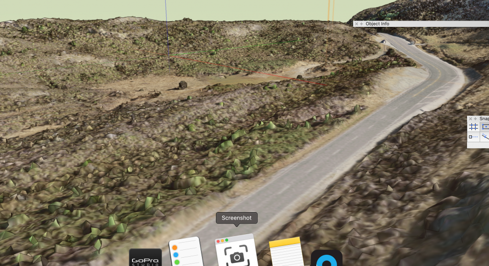
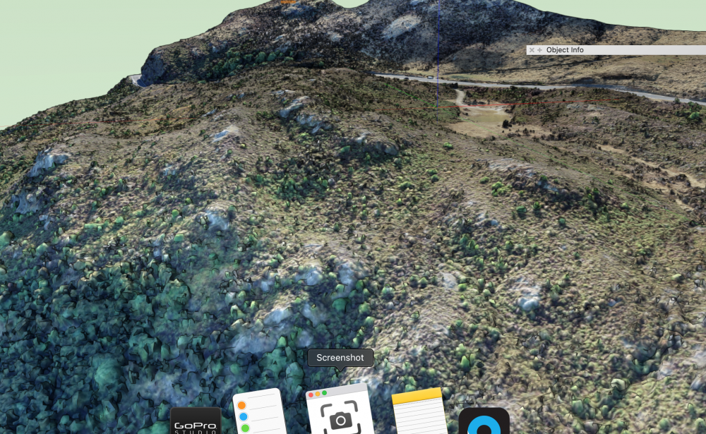
I am trying to show the visual effects of a proposed carpark and visitor facility. I have imported a textured .obj survey file in the form of a mesh (see attached file) and I need to insert the site model for the new carpark into this while keeping the terrain and textures of the surrounding area intact. I find when I try to edit/cut a hole in the mesh to create a space for the new carpark, the texture disappears. Is there a way to 'bake' the texture onto the 3d polygons within the mesh? or can the mesh be converted into another form that allows me to do this? Thanks, Steve
- 2 replies
-
- landmark
- site model
-
(and 3 more)
Tagged with:
-
Working on building a worksheet where clients and users will see the composition of the slab styles that will be used in Hardscapes. I've managed to create in the attached just such a thing but have run into a little difficulty. When using a function to get the thickness of a component it is adding all of the components regardless of which slab they are a part. The attached file has our slabs and the worksheet with the cells in question. My vulnerability is Worksheets and I'm learning more every day but I really could use some help on this one. Your time and effort is greatly appreciated! Have a great weekend! Slab Styles.vwx
-
My client has an office in China and evidently use a different project or at least one offset from WGS-84. Would it be possible to get some guidance or an update that will add China to the list under Plate Carree, Ellipsoid GCJ-02 coordinate system?
-
Hi is there a decent way to use walls on slopes . The wall should folllow a parallel height to the ground . fixed height on starting and ending point. but should follow down a hill.. if I send my wall to the surface to my model, it follows perfectly on the bottom the slope.but not on the top.. is there any way not to correct it manually ? thanx in advance
-
Version 1.0.0
130 downloads
This file is most useful for Landmark users but could be adapted to other plugin objects (PIOs). The purpose of these scripts are to take surveys of existing trees that consist of "dumb" data - pieces of geometry and text to label trees on a survey - and convert it into Existing Trees with the relevant text data associated. The first network, "Test Proximity," runs a check to make sure that each piece of text is closest to its associated piece of geometry. This is necessary to make sure that the second script will work properly. The second network takes the center of each piece of geometry and places an Existing Tree there. It will use the saved red symbol in the Resource Manager as a template, so if you use particular default settings for your Existing Trees, you can edit the red symbol. (Some day maybe there will be an Existing Tree Style!) The network will also transfer the text data to your chosen field of the Existing Tree PIO. In this network, it is set to transfer to the Tree No data field. This network could be adapted to other PIOs if needed.- 1 review
-
- 1
-

-
- landmark
- existing tree pio
-
(and 1 more)
Tagged with:
-
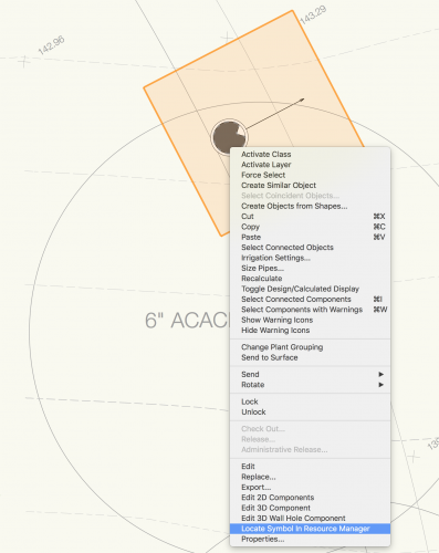
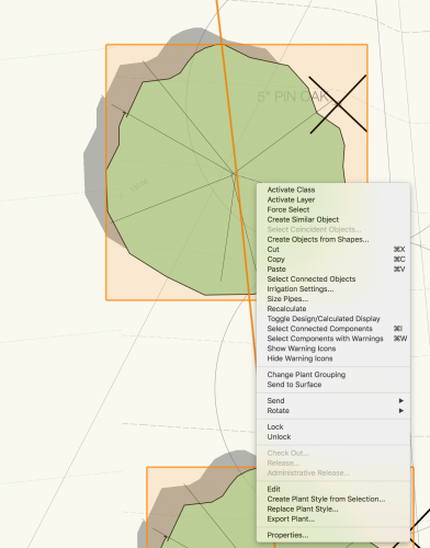
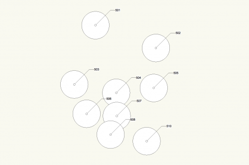
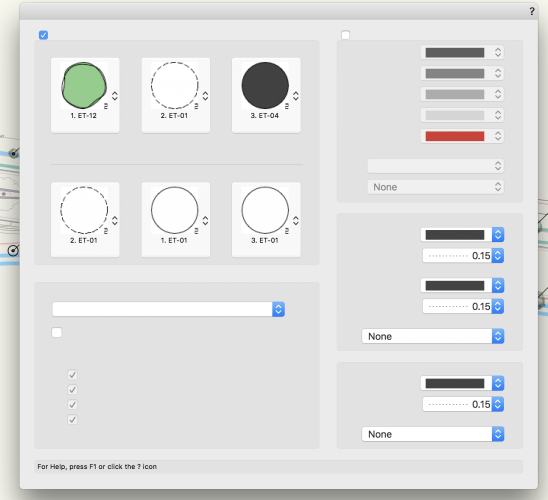
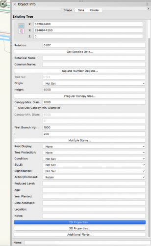
One of our users runs into this issue from time to time where after placing an existing tree and editing several of them the tool locks up as shown below. In the tool itself all options are missing. and the object info palette is missing other things. The only way out of this to close the file and exit VW. Any help will be greatly appreciated.
-
Need Landmark year since 2016. Spanish, English or German language. Make me an offer. My mail: konradanja@gmail.com. Thanks
-
I am a sole practitioner looking for VW Landmark or Designer 2015 or higher for sale. You can email direct at donna@pulsefitnesssb.com
-
Hi, Can someone please help me? Pretty basic I would imagine however I can'y work it out!! How do I get a 3D image of a whole Landscape plan? I can get 3D images on separate Design Layers however can't get an image of the whole project as one 3D image. Please help, its doing my head in!! Cheers Prish
-
- 3dmodelling
- 3dhelp
-
(and 3 more)
Tagged with:
-
Hi, when I create a new viewport on a new sheet layer there is nothing visible. Checked all settings, layers classes scale and seem OK. The only thing I notice is object info shows a small range of x,y values (approx.+x 9, +y3, x-4, y1). This is on a plan printing at 1:200 on A1 paper. I don't believe I've cropped selection...I can't zoom in to show anything on sheet layer. I'm thinking there must be a setting I'm missing...Any ideas please?
-
When Landscape Area objects over a [large, high detail] site model are modified, they can easily take 15 minutes to recalculate, and often longer. When even something as simple as moving the Label causes the Landscape Area to recalculate this creates massive delays to workflow. Also, during testing (using a Xeon processor) the Task Manager indicated all the processing was all done by a single-core, when NINE other cores were available, exacerbating the wait times. WISHES: Please limit the Landscape Area objects to recalculate only when factors are altered that change the output values relevant to surface area etc. Please make the recalculating processes multi-core capable.
- 3 replies
-
- 1
-

-
- landmark
- landscape_area
-
(and 3 more)
Tagged with:
-
I have a symbol/ plugin stuck to a layer. I cannot select it - tried classes components tags etc. Select all scoops it up as it deletes with the rest of page, but marquee selection only picks up adjacent objects. I would very much appreciate any advice as to what might be occurring - Violetz
-
At the Landmark 2019 Stake Elevation Z values are in error (always 0 values). In earlier version the problem could be usually solved, if I changed the stake Mode from "Include as site model data" to "Set elevation to Site Model", but now it won't work. Also the existing Stakes from earlier version, which now should be updated, do not update.
-
- landmark
- site model
-
(and 1 more)
Tagged with:
-
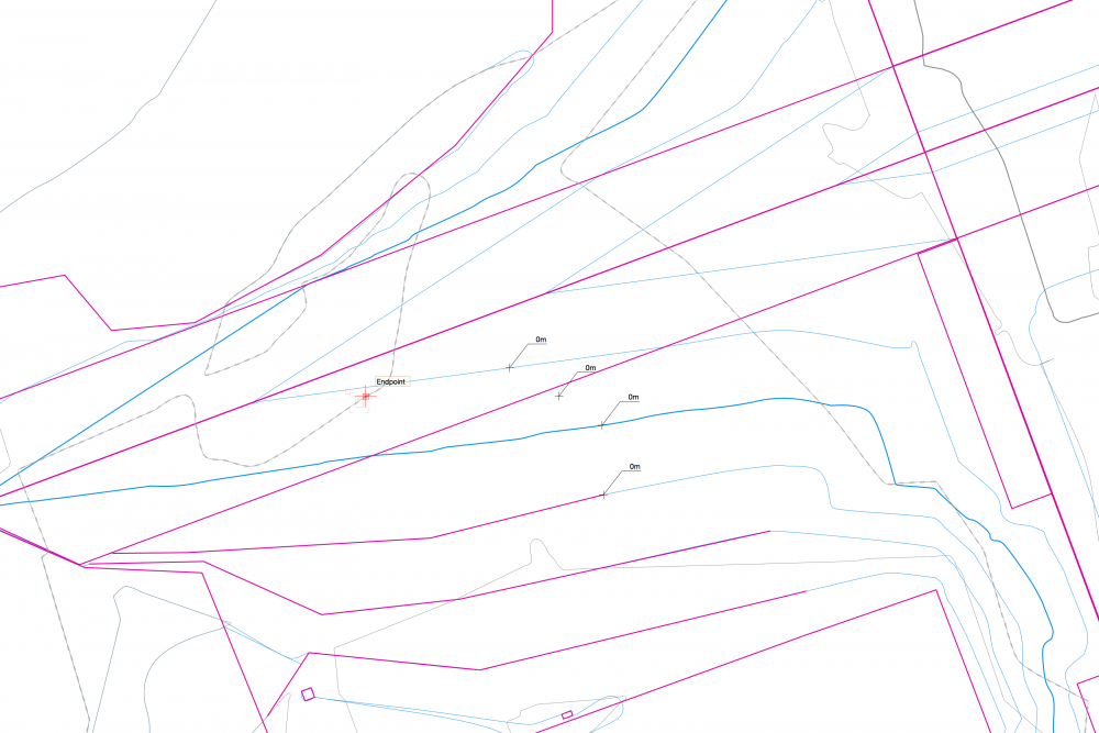
Hello all, I have been working a site model for a quarry. I have two sets of survey data, a topographical survey taken in 2017 in PDF form, and a topo survey from 2018 of the same site in DWG form. I turned the DWG into a site model, and have added in site modifiers of the 2017 data by adding stake points and contours, so that I can compare the two surveys to see how the quarry has changed. I have encountered an issue with a particular contour in the site modifiers, and this contour has flagged up 424 modifier conflicts. I cannot get my head around why only this contour has the problems, and upon clicking the warning triangle it states 'Pads Intersect', however, I have not used any pads, only contours and stake points. Does anybody have any suggestions as to why this is happening? As you can see from the zoomed in images, the modifier conflict warnings are not actually sat on top of 'crossovers' and you can see from other contours that these are not problems. I have attached pictures to help, with the zoomed out image showing only the proposed contours, and the zoomed in showing both (green and blue) proposed and existing. Thanks Joe
- 3 replies
-
- site model
- site modifier
-
(and 3 more)
Tagged with:
-
The Grade Object tool in Landmark has long been a frustration of mine. It is a very powerful tool, but when used in actual applications it is SUPER SLOW and cumbersome. I hope the grading tools and workflows get a hard look for both functionality and usability because many are just clunky and not applicable in a professional setting.
- 5 replies
-
- 2
-

-
- landmark
- grade object
-
(and 3 more)
Tagged with:
-

Hardscapes and Landscape Areas - Styles
ericjhberg posted a question in Wishlist - Feature and Content Requests
It would be incredible if Hardscapes and Landscape Areas could be managed by Styles, similar to walls, roofs, slabs, titleblocks, etc. With this functionality, these would be saved as resources similar to Wall Styles, Roof Styles, Slab Styles, etc. and then could be edited in one location to make changes throughout the document. Currently the functionality of Save Hardscape... or Save Landscape Area... does create a resource manager resource, but that has no effect/connection to the instances located in the drawing. Furthermore, it really can't even be edited in the resource manager. Right now, the only way to enact large changes to multiple similar hardscapes is to make the changes to one and then use the match properties to apply it to all others. There are several reasons why this isn't ideal, Very Slow - Matching properties to hundreds of hardscapes or landscape areas can take forever to complete Inaccurate - The match properties workflow is a manual selection workflow and is only as precise as the users selection abilities/criteria It's time to rethink the way the Landmark tools fit within the greater movements of VW tools, I feel like they are out in their own little world and really should be brought into the fold. -
I've been doing a lot more work with Site Models and have come across a couple of situations that would make for a much better experience. Could we have the proposed contours stop at the site modifier defining the limit of grading. This would be more like how it's done traditionally and would read a heck of a lot better. Can we have a tool that would add contour labels where you direct it to by drawing a line across the model with control over middle or top of contours? The current labels seem to generate based on number of vertices and end up in the worst spots. Looking forward to seeing the continued maturation of the software!
-
- 3
-

-
- site model
- terrain
-
(and 1 more)
Tagged with:
-
Is there a way of displaying the areas of polygons with the text in the centre of the object without using the landscape area tool?


