Carol Reznor
-
Posts
32 -
Joined
-
Last visited
Recent Profile Visitors
1,833 profile views


-

Candy cane stripe around Hardscape object
Carol Reznor replied to Cody Worthman's question in Troubleshooting
hi @Cody Worthman If this happens again, the way to get rid of it is to: in the OIP 1. set the configuration to Aligned 2. click on Update alignement so the candy-can-stripe disappears 3. then you can change the configuration to another configuration without having the candy-cane cheers -
hi @vassen If it is not the trees that are causing the 'slowness', try checking both your hardscapes and site model. what to check for in your Site model: is the Source data simplified enough for ease of use? For example when the source data consists of polylines, how complex are these? what to check for in your Hardscapes: - in the drawing: Are the paths of the Hardscapes (Boundary mode) properly closed? Sometimes it happens when you check the path within the Boundary Hardscape the line is not actually closed) - Can cause issues. - are the hardscape components defined by materials? Do these materials use a texture Surface hatch? Surface hatches can slow down the rendering of VP in my experience. I believe changing some VP settings in this case can help. Good luck!
-
Drone survey: import your pointcloud with correct georeference
Carol Reznor replied to Carol Reznor's topic in Site Design
@Tom W. That is a good practice I find and my personal preference to indeed set it (the user origin) back to match the CRS - especially if you export to DWG because otherwise the DWG will read what the rulers say and import incorrectly ( check the box export dwg with georeferencing puts a Geographic marker in the file in autocad) ... BUT for architects... if you want to export to IFC you shouldn't as IFC only works with 1 origin, so in that case they (internal and user origin) should stay in one place. hoop hoop hoop 🙂 -
hi @Jeff Prince I believe the only thing a Plant Label CAN do that a Data tag can't is show the Plant Image. Or has that changed and is that also possible now with a Data tag?
-
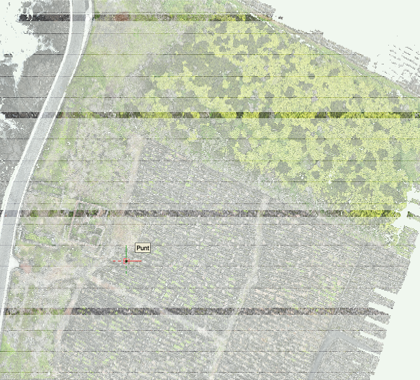
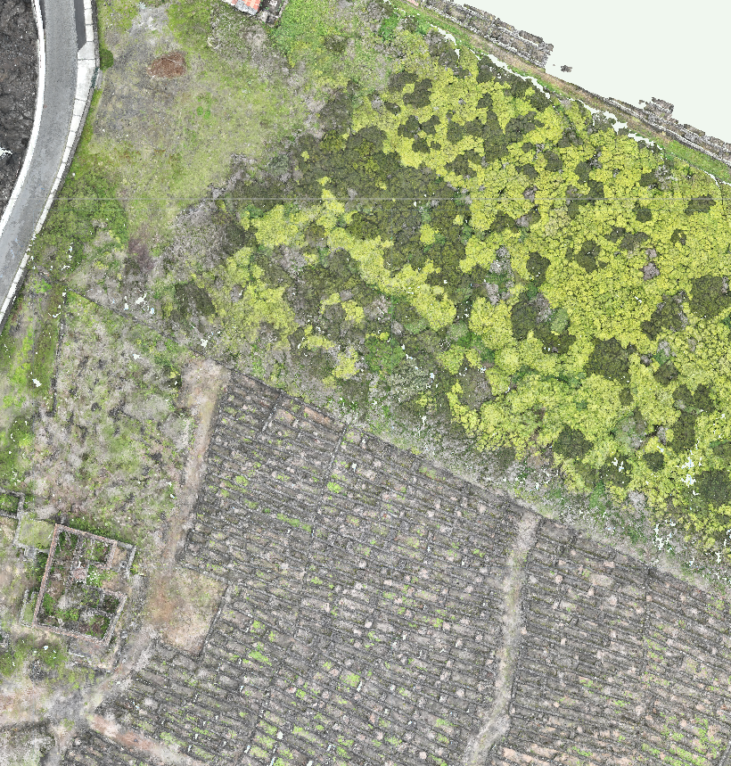
When you import a point cloud as is - without centering it on the internal origin as to keep it in its geolocation, you will get a point cloud that is visually corrupted, as in, it will have ugly lines... and the x,y coordinates say 0 while you can see in the rulers that is not the case... Some time ago I reported this as a bug. I think it still is, as this should work properly so not to loose the correct georeferencing and have a nice workable point cloud. The solution I found for this now is 1. import the geotiff generated by the drone (using the settings of the geotiff - units and EPSG) then 2. adjust the internal and user origin so they coincide with the midpoint of the geotiff and finally 3. import the point cloud ticking the box 'Center Import on Internal Origin' So - you need to export a geotiff and a point cloud from your drone to be able to use the pointcloud in GIS RESULT of 1-2-3
-
Hi @Katarina Ollikainen ! I have made a screen recording which you can find here As you can see at the end Vectorworks even crashes... Thanks in advance!
-
FYI - I am no longer working for a distributor...
-
Hi Not sure if this is related but ever since I installed the PlantMaster plugin the following is accuring. When I place a custom Plantstyle which has the Plantrecord attached from my library into a new drawing the Plantrecord disappears. And there seems to be no way to reattach the Plant record. Or is there a way? Please let me know how. Now i Just reset my Userfolder but the issue remains. Am updating the SP now, will see what gives. Also checked the data manager but am not 100% sure how the settings should look like default. Any one a screenshot of that? But just wanted to check if any one else is having issues... (it is 2 to 3 hours of work spent on trying to figure out what is going wrong while meant to be doing something else...) Thanks! Carol
-
Hi In a site modelling project these two parameters, height and slope, are frequently used and shown. They both have their own separate use. Is should be possible for both to have their own object attributes - in other words the user should be able to assign a class for example: - Height new or existing - Slope/grade new or existing WISH: 1. Open Edge Line, Planar Pad & Pad with Retaining Edge Add Assign Class option to the Planer Pad Slope settings. This makes it possible when showing the Slope value its appearance is consistent when using are Slope definitions in the file. This for the Site Modifiers Open Edge Line, Planar Pad & Pad with Retaining Edge and for Hardscape with Planar Pad configuration 2. Aligned & Path objects incl. Classes for Profiles, Longitudinal Profile, or Transverse Profiles Change the assign Class options so one can define the appearance of Slope and one defines the appearance of Height by adding: - Class Height values - Class Slope value - Class Profile Then the Show-option boxes can be deleted and replaced by changing the visibility of the Class. This allows these values to be shown consistently throughout the drawing and eliminates to need to set this separately for every single object. Thank you
-
Add Grade Def to Document settings: Units
Carol Reznor posted a question in Wishlist - Feature and Content Requests
Hi This is about the setting for Grade Def: Select the type of display for the slope (percent, rise/run ratio, or angle) WISH For consistency throughout the document/project It would be nice if the way the grade is defined (percent, rise/run ratio, or angle) can be set in File > Document Settings: Units, Scale and Grids. As a consequence: In the OIP of the object using 'the display for the slope' the default option then could be 'Document Units'. This eliminates the need to set this for every object separately. Also take into account linking the setting of Profiles, Longitudinal Profile, or Transverse Profiles. Thank you -
Hi We have set up a Workgroup folder that contains the Plant Database folder which includes: the TXT files and a folder with the linked Plant images. In Vectorworks Preferences the location we have added the Workgroup folder location. Now how can one be sure that the program is getting its information from that Workgroup folder and not the User Data and Preferences folder? The command 'Choose Plant Data Source' only lets you explore, not choose a different location... so, in conclusion, the default Plant data source is always the pointed to the User Data folder? So there is no way to work with the TXT based Plant Data, is that correct? Is there a specific reason for this? Is there a workaround so it is possible to work as a team using the Plant Catalog (txt based) and not with the Filemaker database? Thanks Carol
- 1 reply
-
- 1
-

-
Hi Alex Could it be that in the Landscape area settings the following is turned off: - In the 2D Display category the option Show plants in 2D is not checked? - or if it is 3D, in the 3D Display category the Show plants in 3D is not checked? Plant information is added I presume in the Landscape area style right?
-
Same issue with the WFS services from the Belgian government (they have updated their services recently) Example: https://geo.api.vlaanderen.be/GRB/wfs CRS: Belge 1972 / Belgian Lambert 72 More info: https://www.vlaanderen.be/datavindplaats/catalogus/wfs-grb Could this be due to: Consumption and use of GML complex features like INSPIRE harmonised data (vector), GeoSciML https://schemas.opengis.net/iso/19139/20070417/gsr/spatialReferencing.xsd http://www.datypic.com/sc/niem30/e-ns65_AbstractCRS.html
-
How to let worksheet report plant count instead of "plant object" count?
Carol Reznor replied to DDD's topic in Site Design
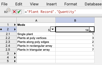
Hi Maybe instead of using the tag as a criterium you could use the following in your worksheet the Insertion options Mode (Formula for worksheet header: ='Plant'.'config') This will allow you to list or filter by how the plants were inserted as a single plant or as a group Carol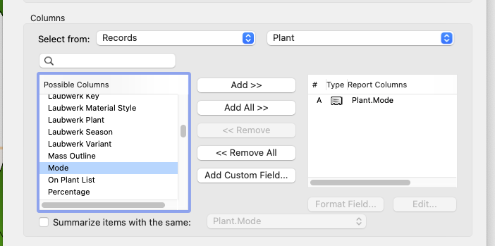
-
Hi When downloading content from a WFS Webservice I sometimes get back the following errormessage: CPLErr( 3 ), err_no( 1 ) /vsicurl_streaming/http://schemas.opengis.net/iso/19139/20070417/gsr/spatialReferencing.xsd:19:39 type 'http://www.opengis.net/gml/3.2:AbstractCRS' not found. You may retry with the HANDLE_MULTIPLE_IMPORTS=YES open option What does it mean? And what can one do about it? Thanks!