sync1b
-
Posts
4 -
Joined
-
Last visited
Content Type
Profiles
Forums
Events
Articles
Marionette
Store
Everything posted by sync1b
-
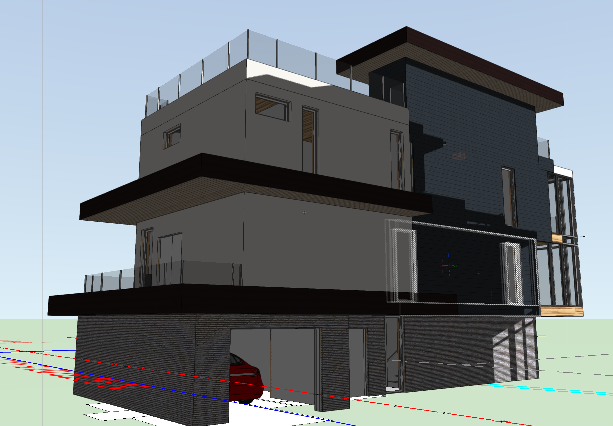
Hello, I'm looking for a Architect or Draftperson with experience in Passive House design. The project is in the Pacific Northwest. Most of the 3D envelope has already been created. I'm looking to pass off for detailing and sheeting. Please contact me with any interest! Thanks!

-
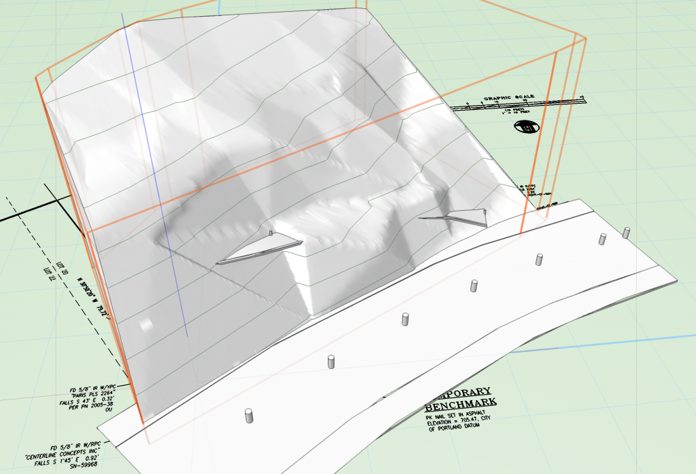
Hey There, I am trying to use the NURNS Roadway tool to modify a site. The class settings appear to be correct and work with a Poly Road. However when applied to a NURBS road and with site modifier turned on they have no affect on the site. What am I doing wrong? Project attached. ValeVistaDrawing.vwx
-
I ended up using the clip cube and manually drawing poly lines at each elevation step. Not fast, but it worked. Thanks!
-
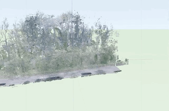
Hey There, I wondering if there is a more automated workflow for turning a 3D scan of a hillside into a site object? The trick is the scan has lot's of trees, brush, cars, houses, etc. Besides cleaning those points off prior to import, am I stuck manually drawing the poly lines? With the clip cube not visible in plan view how can I even view a planar cut? Thanks in advance,