Terry Ackerman
-
Posts
105 -
Joined
-
Last visited
Content Type
Profiles
Forums
Events
Articles
Marionette
Store
Everything posted by Terry Ackerman
-
In the 'I wish I knew then what I know now department': 3d polys make life so much easier than doing it the stupid way I was going about the contour manipulation. The pads weren't nearly as intuitive and controllable as 3d polys. Thanks for pointing me in that direction.
-
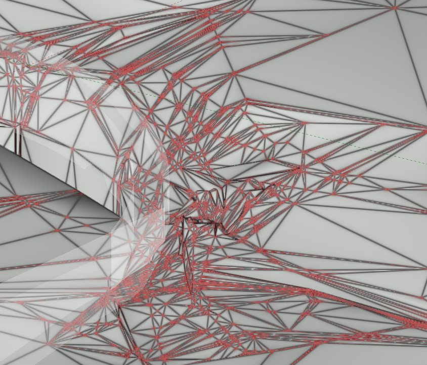
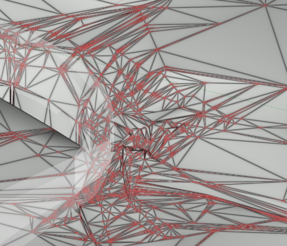
Thanks for responding. I've got a train wreck I created while on a steep learning curve. I'm sure I went about everything wrong, but site modifiers/pads weren't working as expected or needed so I used a bunch of stakes and have been editing manually, making it worse. A simple delete vertex while surface sculpting seems like a huge missing option at the moment. Since I've manually edited a bunch, if I recreate the site model from the source data, all my edits will be destroyed. Thanks for looking at the file....don't roll your eyes too much. 😭
-
While creating and editing a site model (first in eons), I've generated a mess. Adding vertexes makes sense, but why isn't there a way to delete them to simplify the surface mesh?...or is there some other method to remove the vertexes? TIA
-
As a long time VW user, Georeferencing has not been utilized and now I'm exploring this capability. I've just started going down this rabbit hole..... My initial question is how to leverage local GIS Mapping? I believe I read on one forum search that VW can somehow tie into GIS systems. Correct or no? Or do I have to subscribe to ArcGIS or other service. As a shapefile newbie, my initial file imports from our local GIS mapping system, I was able to import multiple layers of roads, parcels, structures, etc data. None included any labeling. I assume this is normal with shapefiles? One contour 'shapefile' from the source list I downloaded does not include a .shp file to import, but is in a .gdb folder. There are a variety of file formats I've never seen before within this folder, including .spx files. How can this contour data be imported and included with the other shapefiles to complete the build of this county file? As another part of the local GIS mapping system, an export shapefile or .dwg/.dxf export option are shown but all fail, throwing out the following error: Error - SDE connection file does not exist: //catalina/C:/sdeConnectionstore/ReadOnly_Gis.sde I will contact the local GIS guru and see what I can find here, but the export option seems pretty useful. TIA EDIT: It looks like there is a beta testing link to ArcGIS site.
-
@SeanOSkea you have to be careful what geometry you export and import into Carbide Create. For instance, Squares don't work, but IIRC rounded rectangles do. So decomposing everything might be worth considering. You might try a trial and error process to discover what works and what doesn't. Then set up 'rules for exporting' dxf files.
-
Any idea on possible ETA? Sounds like a good additional capability. I heard back from Carbide 3d: Jim, any plans to mount a laser on your rig?
-
MeshCAM is a cross platform option that can import .stl & .dxf files for 3d and 2d CNC. They offer a 15 day free trial. Regarding importing to Carbide Create, lines and converted text to polys (groups) works. I swear I tried a rectangle with no fill and had no luck. I'll try arcs, circles and other polys to see what else does and doesn't work. There seems to be an inconsistency that I haven't figured out yet. Plus there is a scaling problem. Might be from mm/inches. As usual, workarounds need to be dreamt up to get from drawing to output. Bottom line, it seems that you really need to dumb down files that are exported for the toolpath creations to the point where you wonder if simply drawing in the app is the more direct and simple solution. In a perfect it word, it'd be great to simply hit 'print' for CNC, laser, 3D, vinyl cutting, etc directly from VectorWorks.
-
Well, the Carbide Create app is very limited and can't even import a .dxf of a rounded rectangle. Could be operator error. Lua Error: [string "dxfreader.lua"]:1261: attempt to compare number with nil Edit: I went through the Carbide Create tutorials and it was stated that the G-Code was 'pretty vanilla' and ran every CNC they tried. Not sure how you could test a Mac generated G-code if on your Homemade CNC the control is run by a PC, however. Also, what is an '.svg' formatted file. It is not an option from VW, correct?
-
I was just thinking the same thing. I went to an intro class last night at a local 'Maker Lab' and the possibilities are endless across many disciplines. There does not seem to be anything standardized and a pile of confusing proprietary solutions. Seems like an opportunity for someone to clean it all up and make it way more user friendly and 'connected'. V-Carve seems to be the front runner, but not for Mac.
-
Interesting Jim. By the time one could buy the parts, build the thing, buy a (and learn) PC and CAM software, you could be into something like the Shapeoko and Carbide Create and Motion for the Mac. You'd think adding CAM capability to VW would be a nature fit, eh? There isn't enough of a Mac and/or general CNC/3D Print/Laser/Carving/Cutting market to make it worthwhile for Nemetschek?
-
Cool Jim. How much time and expense was involved in this project? Also, the Vectorworks CAM 'Help' is pretty limited. Can you point me to any tutorials on going from VW to running a machine on a Mac? Thx
-

Windoor ID tags not showing up correctly in Viewports
Terry Ackerman replied to Vaughan's question in Troubleshooting
I've only noticed this issue when the exterior of the windows were facing the interior or on a past version of VW where the windows on the opposite side of the building showed through. Does anything change after flipping the windows?