Hi All! As part of my landscape work, I undertake tree assessments and I am trying to import tree positions directly into Vectorworks, so that I can apply them to clients' site plans or topographical surveys.
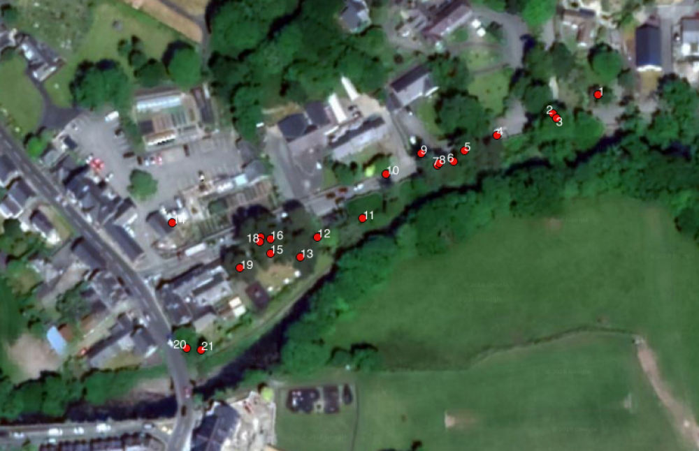
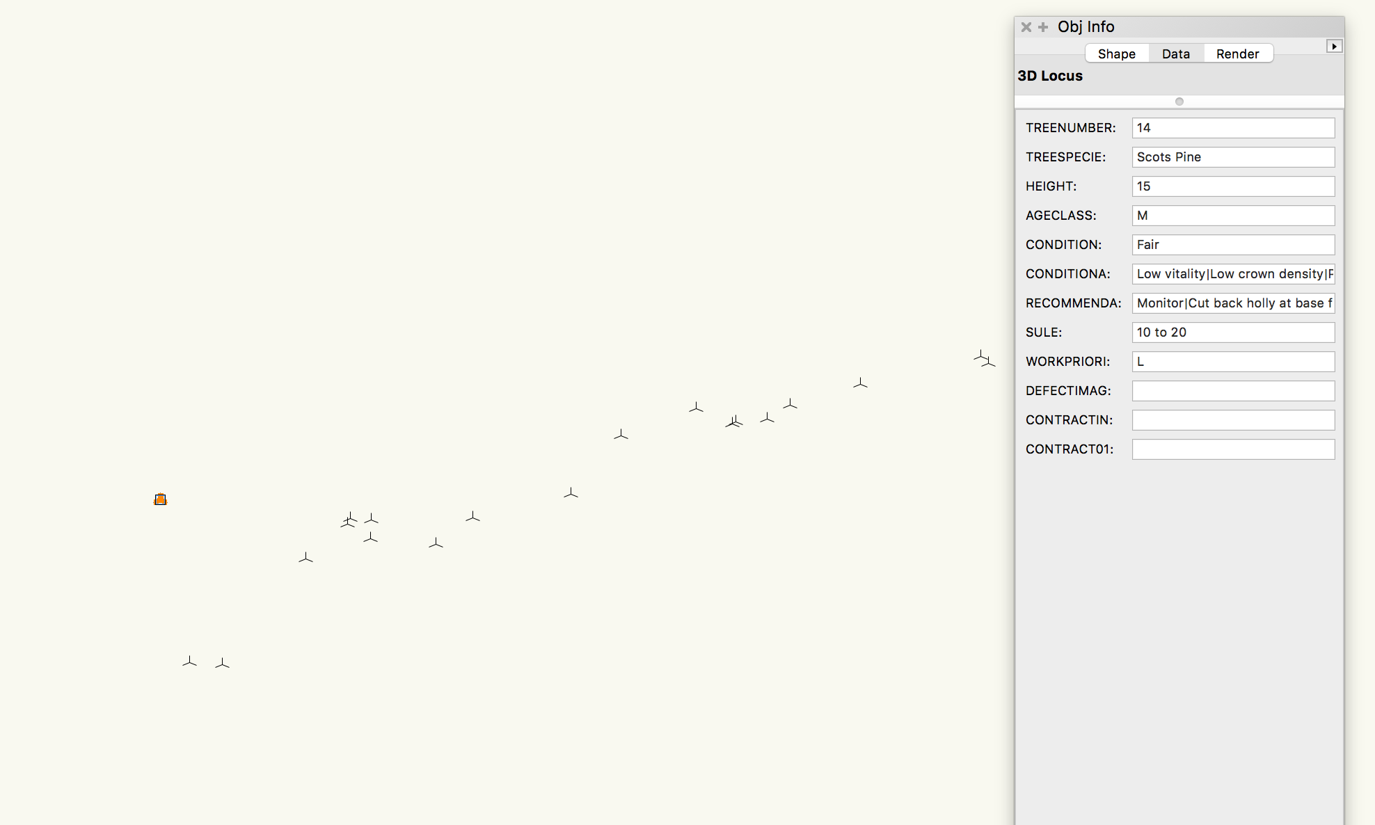
Whenever I try to import these points, they come in at an unpredictable scale and are not located where they need to be on the base plan, although their relative positions to each other seem correct (see comparison between VW point spread and GIS file). All get are a spread of 3d loci somewhere on the plan. One great feature is that when I select a point and look at the attribute table, the data from my forms is all there (see screenshot). When I import shapefiles of polygons they almost always import perfectly to scale and correctly geolocated.
I guess I have two questions;
1. Can anyone tell me how to bring these points in accurately and to scale? I have a very accurate GPS receiver and would like to make use of it for this purpose.
2. Is there any way to add one of the fields in the attribute table (in this case "tree number") as a label, as I would in a GIS application?
Many thanks in advance.
Scott