About This File
These scripts are similar to networks I posted in January of 2019. Here is the link to the previous post.
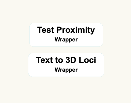
The Test Proximity script is the same one as in the older post, but has been updated to Vectorworks 2023. These scripts are primarily for Landmark users - they can be used to convert a file that contains 2D geometry with unassociated text labels to 3D loci (if the text is a number value representing an elevation). To use these wrappers, first group the geometry and text labels you want to convert and give the group a name in the Name field of the OIP. Then copy/paste the wrappers into the file and set the parameter "Group Name" in the two wrappers to the name you gave your group. Next, run the Test Proximity wrapper. Lines between text and geometry will appear. If there is a line between each geometry and label pair, you can run the next wrapper. If there are multiple lines from a single piece of geometry to more than one text label, adjust the text labels in your group, placing these particular labels closer to their respective geometries and rerun the Test Proximity wrapper until there is a single line for each text and geometry pair. Finally, run the Text to 3D Loci wrapper to create 3D loci at the same location as the 2D geometry with a z-height that matches the text value.
What's New in Version 1.0.0 See changelog
Released
Here is the file exported to Vectorworks 2019. I hope it works as I can't test it.


Recommended Comments
Join the conversation
You can post now and register later. If you have an account, sign in now to post with your account.
Note: Your post will require moderator approval before it will be visible.